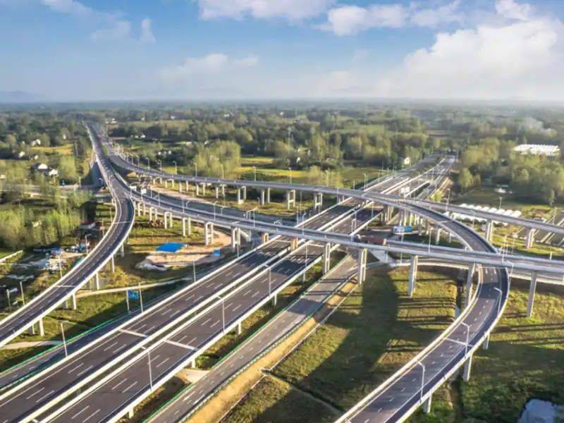
A highway can look completely different from one section to another. Drivers may encounter dense fog around a mountain bend, heavy rain on an exposed road section, or icy pavement when crossing a bridge on a cold morning. These conditions can develop or change quickly, making it difficult for highway operators to keep track of road conditions through routine inspections alone. Knowing the local weather is not always enough, either. Visibility and road surface conditions need to be monitored separately to give a more complete picture of what is happening on the road. A smart highway monitoring system brings these measurements together through different highway monitoring sensors, helping operators identify changing conditions along the highway.
In this article, we look at the sensors and technologies used in highway monitoring, how data is collected and transmitted, and how these systems support road safety and maintenance. We also introduce how Yantai Sensor’s weather station, visibility sensor, and road condition sensor can be integrated into a highway monitoring solution.
What Is a Smart Highway Monitoring System?
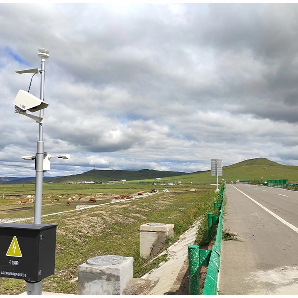
A smart highway monitoring system is designed to collect and manage information about road weather, visibility, and surface conditions across different sections of a highway. Instead of relying only on roadside inspections and reports from drivers, highway operators can use distributed sensors to obtain measurements from selected locations and keep track of changing conditions. The monitoring scope varies by project, depending on local weather risks, road characteristics, and operational requirements.
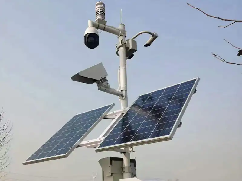
A typical environmental monitoring system consists of four parts: field sensors, data acquisition equipment, a communication network, and a monitoring platform. Sensors measure conditions such as temperature, rainfall, visibility, and road surface status. The collected data is then transmitted to a central platform for viewing and analysis. Compared with periodic manual inspections, this approach supports continuous or scheduled data collection, reduces dependence on manual recording, and gives operators more timely information for risk assessment and maintenance planning. More advanced intelligent transportation systems may also integrate cameras, radar, and traffic event detection technologies, depending on project requirements.
The FHWA Environmental Sensor Station guide describes the different roles of weather, visibility and pavement sensors.
Why Do Highways Need Intelligent Monitoring Systems?
Highway conditions can change over short distances and within a short period of time. Weather changes, reduced visibility, and wet or icy road surfaces may create different risks along the same route. Periodic inspections and individual weather measurements cannot provide a complete picture of these changing conditions. Intelligent monitoring systems help operators collect continuous, location-specific data and identify potential hazards more promptly.
Changing Weather Conditions
Temperature, humidity, rainfall, and wind conditions can change along a highway. Highway weather monitoring provides local measurements that help operators track changing weather conditions and assess potential environmental risks.
Reduced Visibility
Fog, haze, smoke, and heavy precipitation can reduce visibility and affect driving conditions. Dedicated highway visibility monitoring provides visibility measurements that general weather monitoring cannot replace.
Slippery and Hazardous Road Surfaces
Water, snow, and ice can affect tire grip and driving safety. Air temperature alone cannot confirm the actual road surface condition. Road condition monitoring provides direct information about pavement conditions, including wetness and ice formation.
For the wider measurement scope, สถานีตรวจอากาศถนน vs สถานีตรวจอากาศ: อธิบายความแตกต่างที่สำคัญ explains how atmospheric and pavement measurements differ.
Limitations of Periodic Manual Inspections
Manual inspections cannot continuously monitor every highway section or capture every short-term change. Automated sensors supplement field inspections by collecting data continuously or at scheduled intervals, allowing operators to access updated road condition information remotely.
What Are the Key Components of a Smart Highway Monitoring System?
A smart highway monitoring system consists of three main sensing categories and a supporting data infrastructure. Environmental sensors measure atmospheric conditions, visibility sensors monitor optical visibility, and road condition sensors detect changes on the pavement. Data acquisition and communication equipment connect these measurements to a central monitoring platform.
Environmental and Weather Monitoring Sensors
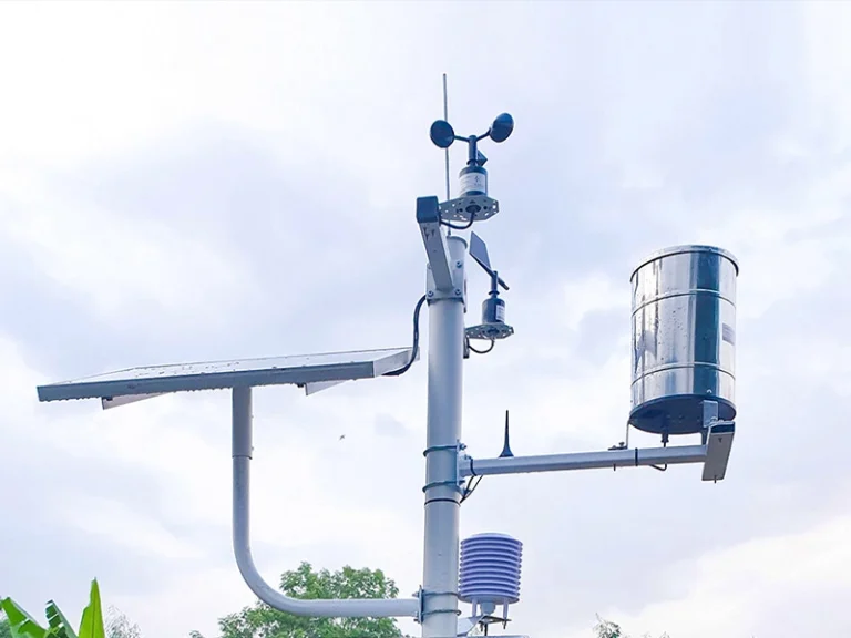
Environmental sensors measure air temperature, relative humidity, wind speed, wind direction, atmospheric pressure, and rainfall. These parameters help highway operators monitor temperature fluctuations, crosswind exposure, and precipitation. Temperature and rainfall data also provide important context for assessing potential icing and wet-road conditions, although they cannot confirm the actual state of the pavement.
Visibility Monitoring Sensors
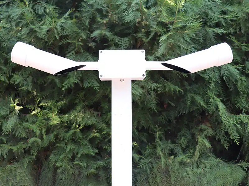
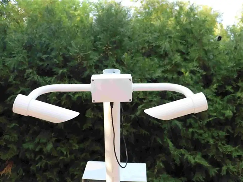
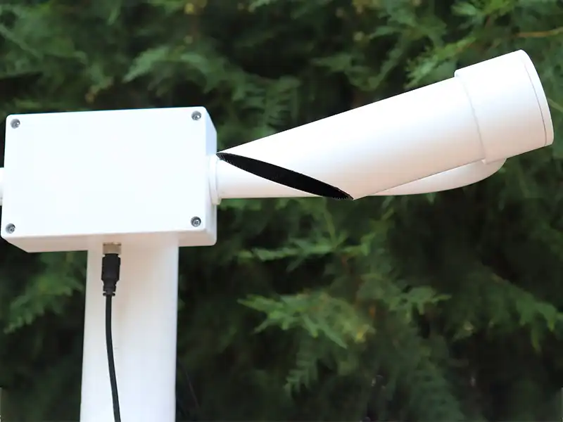
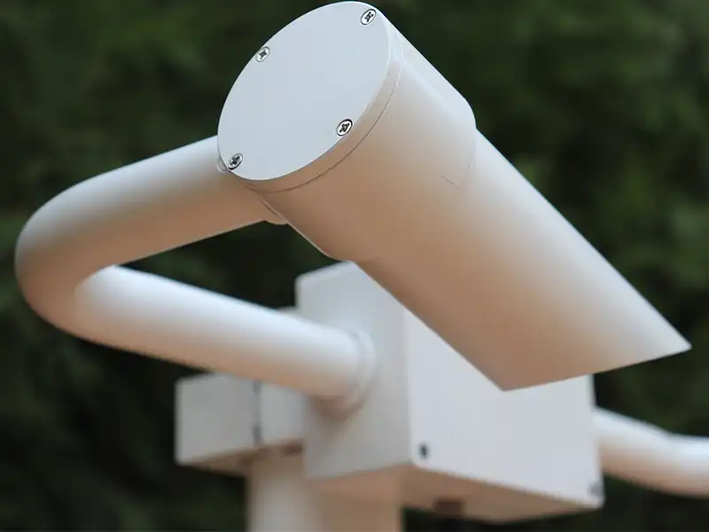
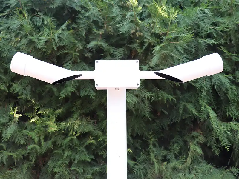
Visibility sensors commonly use forward-scattering technology to measure atmospheric visibility. A transmitter emits a light beam into the air, and suspended particles scatter part of the light toward a receiver at a defined angle. The sensor processes the received signal to estimate meteorological optical range (MOR). This measurement helps operators identify visibility deterioration caused by fog, haze, smoke, or precipitation.The device-specific measurement process is covered in เซ็นเซอร์ตรวจวัดทัศนวิสัยบนทางหลวง: การประยุกต์ใช้สำหรับการตรวจสอบความปลอดภัยทางถนน.
Road Surface Condition Sensors
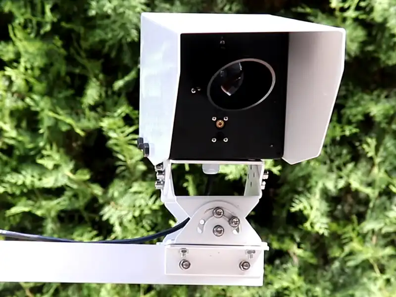
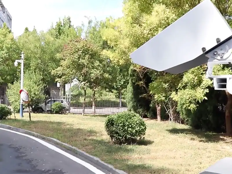
Road surface sensors detect conditions that atmospheric measurements cannot establish directly. Depending on the measurement technology, they can identify water, ice, snow, and mixed surface states, as well as related parameters such as water or snow coverage and surface wetness. These measurements are particularly relevant at bridges, ramps, shaded road sections, and other locations where pavement conditions can differ from the surrounding air.
For pavement measurement methods, เซ็นเซอร์สภาพพื้นผิวถนนตรวจจับน้ำแข็งและน้ำได้อย่างไร? provides a closer look at water and ice detection.
Data Acquisition, Communication and Monitoring Platforms
Data acquisition units collect sensor outputs and convert them into organized measurements for transmission. Communication networks carry the data to a monitoring platform, where operators can view current readings, compare conditions across monitoring points, and review historical trends.
At the device level, RS485 provides a communication interface, while Modbus defines the data exchange protocol. Ethernet and 4G provide options for transferring data to remote systems. The final architecture depends on sensor interfaces, monitoring point distribution, network availability, and platform compatibility.
How Does a Smart Highway Monitoring System Work?
A smart highway monitoring system converts field measurements into information that highway operators can use to assess changing road conditions. Data is collected at roadside monitoring points, processed by a central platform, and evaluated against predefined alert conditions. This process connects environmental monitoring with day-to-day highway management.
Field Data Collection
Monitoring devices record measurements at configured intervals. Each reading is linked to its monitoring location and collection time, allowing operators to identify changes along individual highway sections. Consistent sampling also provides a basis for comparing current conditions with previous records.
Data Acquisition, Transmission and Processing
Data acquisition equipment receives sensor outputs and prepares them for transmission to the monitoring platform. Once received, measurements are organized by location and time, then displayed through dashboards, charts, and historical records. Data validation can help identify missing or abnormal readings, while trend analysis allows operators to examine how conditions develop across different monitoring points.
Monitoring Alerts and Management Response
The platform evaluates measurements against predefined thresholds to identify conditions requiring attention. A sudden reduction in visibility, detected road icing, or rainfall exceeding a configured limit can trigger a corresponding alert. Operators can review the readings, verify the situation, and arrange inspections, maintenance work, or driver information updates. This process supports timely intervention without assuming automatic traffic control.
What Are the Main Applications of Smart Highway Monitoring Systems?
Smart highway monitoring systems are used in different road environments according to local weather patterns and safety risks. Sensor locations and configurations should reflect the conditions of each road section rather than follow uniform spacing.
Highway Environmental Monitoring
Weather stations along highways measure air temperature, humidity, wind speed, wind direction, atmospheric pressure, and rainfall. Monitoring points should focus on exposed sections, bridges, and areas prone to severe weather. Changes in wind and temperature help identify local weather risks. However, air temperature cannot replace pavement temperature measurements, which require dedicated road surface sensors.
Mountain Road Weather and Visibility Monitoring
Mountain roads are vulnerable to valley fog, heavy rainfall, snowfall, and sudden temperature changes. Visibility sensors are best placed at fog-prone locations, such as valley bottoms and mountain pass entrances. Road surface sensors also help detect icing on shaded slopes, where snow and ice may remain longer than on sun-exposed sections.
Bridge and Tunnel Weather and Road Condition Monitoring
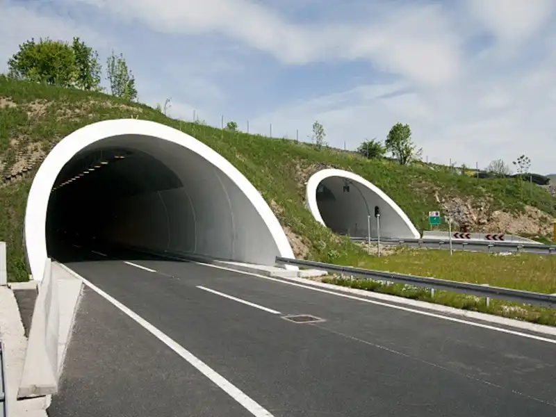
Bridge decks can freeze earlier than ordinary road surfaces, while exposed bridges are vulnerable to strong crosswinds. Local monitoring may combine pavement, wind, and visibility measurements. At tunnel entrances, visibility changes require attention, while tunnel interiors may need dedicated sensors for smoke, carbon monoxide, and ventilation conditions. These require additional equipment beyond general weather monitoring.
Yantai Sensor’s Smart Highway Monitoring Solution
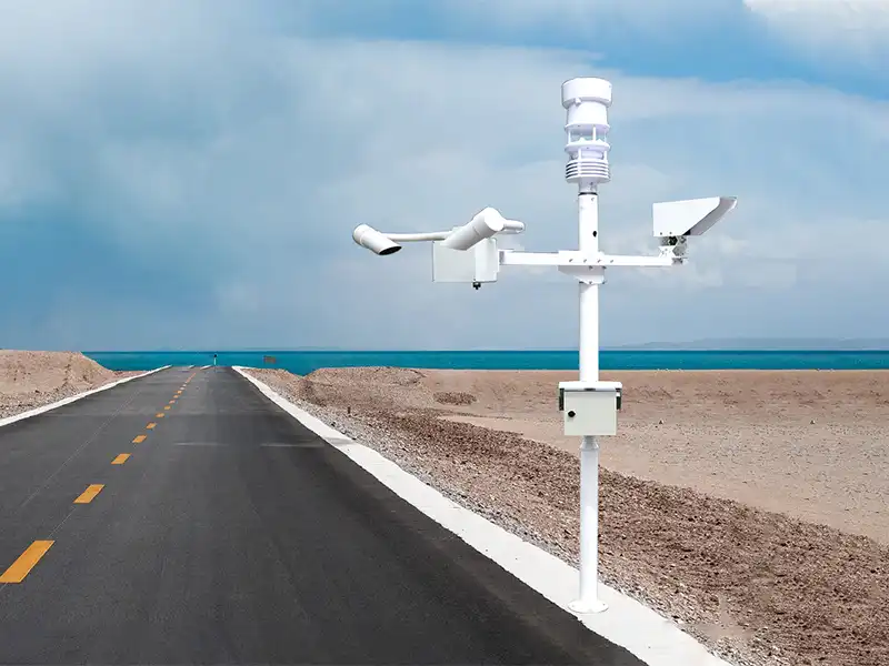
Yantai Sensor combines weather, visibility, and road condition sensors to provide an integrated monitoring solution for highway applications. The three devices cover atmospheric conditions, visibility, and actual pavement conditions, providing complementary data for a smart highway monitoring system.
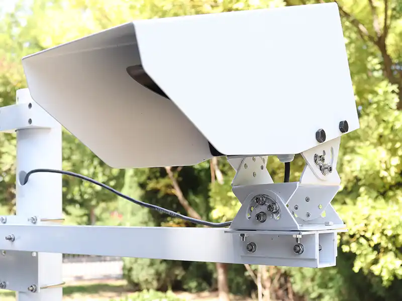
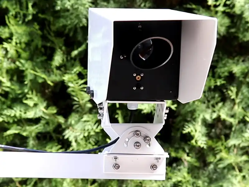
The XF600L Smart Weather Station measures air temperature, humidity, wind speed, wind direction, atmospheric pressure, and rainfall. The XF-CQ10 Visibility Sensor uses forward-scattering technology to measure atmospheric visibility from 10 m to 10 km. Complementing these measurements, the XF-CQ11 Road Condition Sensor uses non-contact infrared laser technology to identify water, ice, and snow, while measuring their coverage thickness, road surface temperature, and slipperiness. Together, these highway monitoring sensors support weather, visibility, and road condition monitoring.
The devices can be deployed together or separately according to local climate, road layout, and monitoring requirements. All three support RS485 communication and can connect to compatible data acquisition equipment. Yantai Sensor also provides technical support for equipment selection, installation arrangements, and system integration based on project requirements.
How to Plan and Deploy a Smart Highway Monitoring System?
A successful smart highway monitoring system deployment depends on project planning as much as equipment selection. Before installation, project teams should define acceptance requirements, investigate site conditions, and coordinate infrastructure and maintenance arrangements.
Define Project Objectives and Acceptance Criteria
Clarify whether the project focuses on road safety alerts, winter maintenance, or long-term environmental data collection. These objectives determine sensor requirements and monitoring coverage. Set measurable acceptance criteria in advance, such as data completeness, communication availability, and measurement accuracy.
Conduct Site Surveys and Prepare Installation Conditions
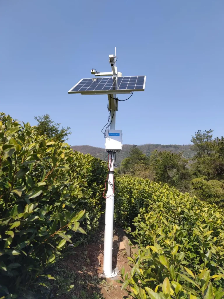
Inspect the actual road sections before finalizing monitoring points. Identify localized risks such as valley fog, bridge icing, and strong crosswinds rather than distributing sensors at uniform intervals. Also check mounting foundations, structural wind resistance, power supply, grounding, and lightning protection. Solar-powered installations should account for local winter sunlight and backup capacity.
Confirm Communication and Platform Compatibility
Before deployment, confirm device addressing, communication settings, data formats, and compatibility with existing acquisition equipment and monitoring platforms. For RS485 networks, consider cable length, termination, and electrical isolation. Remote sites may also require 4G coverage checks and local data storage during network interruptions.
Complete System Acceptance and Maintenance Handover
After commissioning, compare sensor readings with suitable reference instruments and conduct a trial operation to assess data quality and system stability. Acceptance should follow the project requirements rather than rely only on whether devices can return readings. Before handover, document spare parts, calibration and cleaning schedules, maintenance responsibilities, and operator training.
What Should You Consider When Choosing Highway Monitoring Sensors?
When selecting highway monitoring sensors, do not compare specifications alone. The measurement method, installation environment, and actual operating requirements all affect whether a sensor is suitable for a highway project.
- Measurement objectives and sensor type: Match each sensor to the condition being monitored. A weather station measures atmospheric parameters, a visibility sensor measures atmospheric visibility, and a road condition sensor detects pavement conditions such as water, ice, and snow. Air temperature should not be used as a substitute for road surface temperature.
- Measurement range and accuracy: Check whether the measurement range covers the expected conditions at the site. Consider accuracy across the operating range, not just the best-case specification. For visibility and road condition sensors, also check the specific parameters and measurement limits provided by the manufacturer.
- Installation position and measurement coverage: Check the sensor’s detection range, measurement direction, mounting height, and angle. Buildings, roadside structures, vegetation, vehicle spray, and other obstructions may affect measurement results. The installation position should reflect the actual road environment.
- Environmental protection and operating conditions: Review the IP protection rating, operating temperature, and resistance to rain, snow, dust, humidity, and temperature fluctuations. For optical sensors, consider direct sunlight, reflected light, and possible interference from the surrounding environment.
- Communication and power compatibility: Confirm the output interface, communication protocol, power requirements, and compatibility with the project’s data acquisition equipment. RS485 is an interface, while Modbus is a communication protocol; they should be verified separately.
- Maintenance and long-term operation: Check whether the sensor is easy to access, clean, inspect, and calibrate. Also consider consumable parts, calibration requirements, technical documentation, and the availability of replacement components.
Conclusion: Building Safer Highways with Integrated Monitoring
Highway conditions can change significantly between open road sections, mountain passes, bridges, and tunnel entrances. A smart highway monitoring system needs to account for these differences through appropriate weather monitoring, visibility monitoring, and road condition monitoring. Weather stations, visibility sensors, and pavement sensors each provide different measurements, while proper monitoring point selection, installation, and system integration help turn these measurements into useful information for highway operations.
Yantai Sensor offers the XF600L Weather Station, XF-CQ10 Visibility Sensor, and XF-CQ11 Road Condition Sensor to support different project requirements. ติดต่อเรา to discuss your highway monitoring needs and select a suitable sensor configuration.