บทนำ
สำหรับผู้ดำเนินการถนน การทราบอุณหภูมิอากาศหรือปริมาณฝนไม่เพียงพอเสมอไปที่จะเข้าใจสิ่งที่เกิดขึ้นบนถนน หมอกสามารถลดทัศนวิสัยได้ในเวลาอันสั้น ในขณะที่น้ำ น้ำแข็ง หรือหิมะสามารถก่อตัวบนผิวถนนได้แม้ข้อมูลสภาพอากาศทั่วไปจะไม่แสดงสภาพถนนอย่างชัดเจน นี่คือเหตุผลที่สถานีตรวจอากาศถนนใช้เซ็นเซอร์ต่างๆ เพื่อตรวจสอบทั้งสภาพอากาศโดยรอบและสภาวะที่อาจส่งผลโดยตรงต่อถนน.
ระบบทั่วไปจะวัดอุณหภูมิอากาศ ความชื้นสัมพัทธ์ ความเร็วและทิศทางลม และปริมาณฝน โดยเพิ่มเซ็นเซอร์ทัศนวิสัยและผิวถนนเมื่อจำเป็น ข้อมูลเซ็นเซอร์จะถูกรวบรวมและส่งไปยังแพลตฟอร์มตรวจสอบสำหรับการตรวจสอบสภาพอากาศถนนและการตรวจสอบสภาพอากาศทางหลวง ส่วนต่อไปนี้อธิบายว่าเซ็นเซอร์เหล่านี้ทำงานร่วมกันอย่างไร ข้อมูลถูกรวบรวมและส่งอย่างไร และระบบถูกกำหนดค่าอย่างไรสำหรับการใช้งานถนนที่แตกต่างกัน.
สถานีตรวจอากาศถนนคืออะไร?
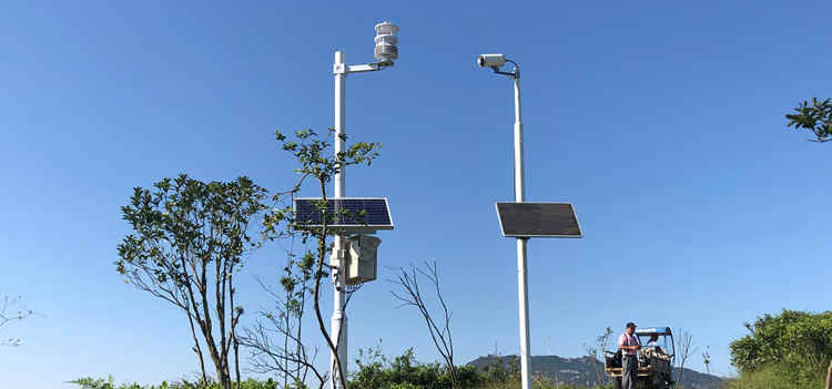
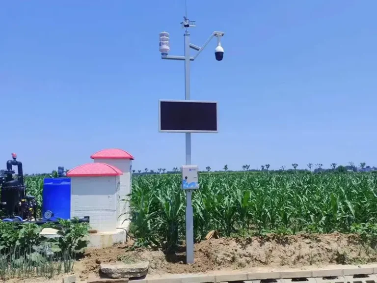
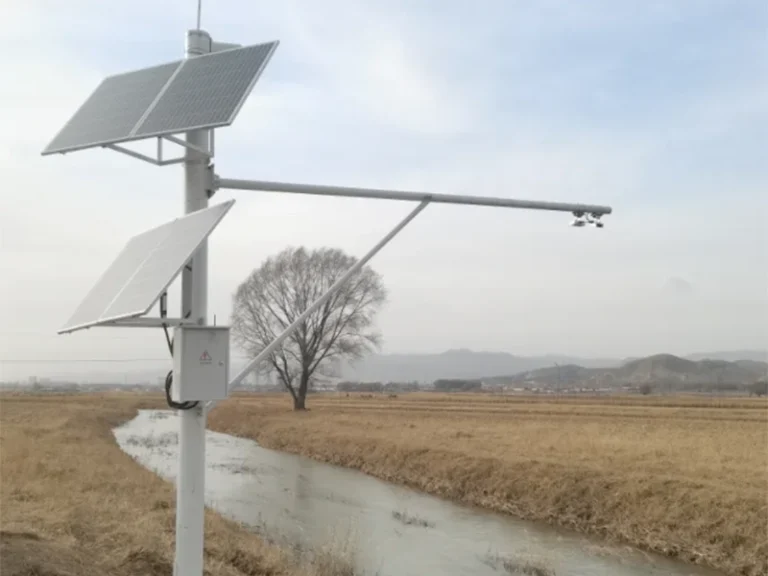
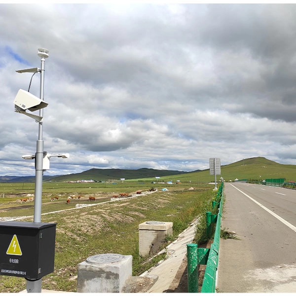
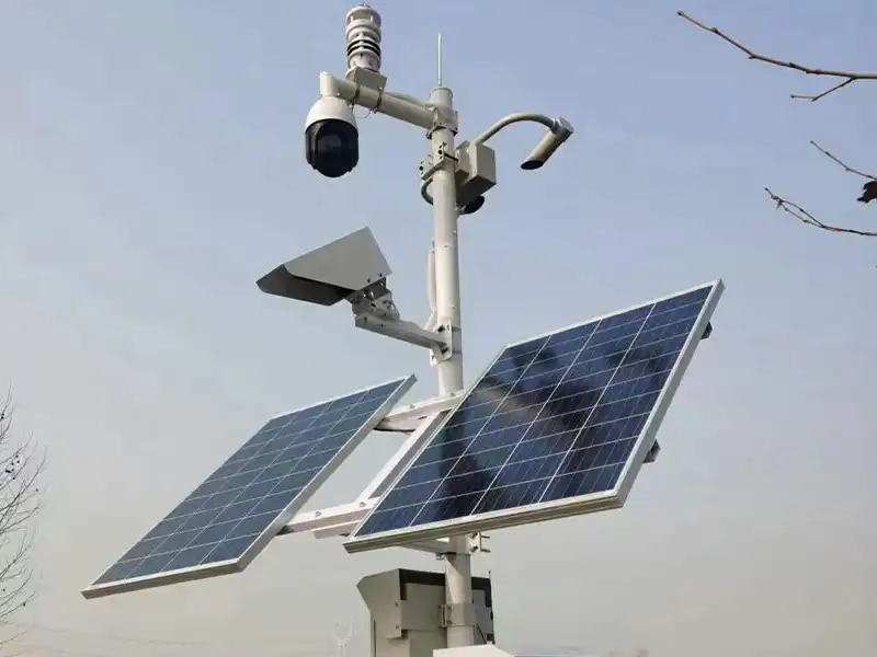
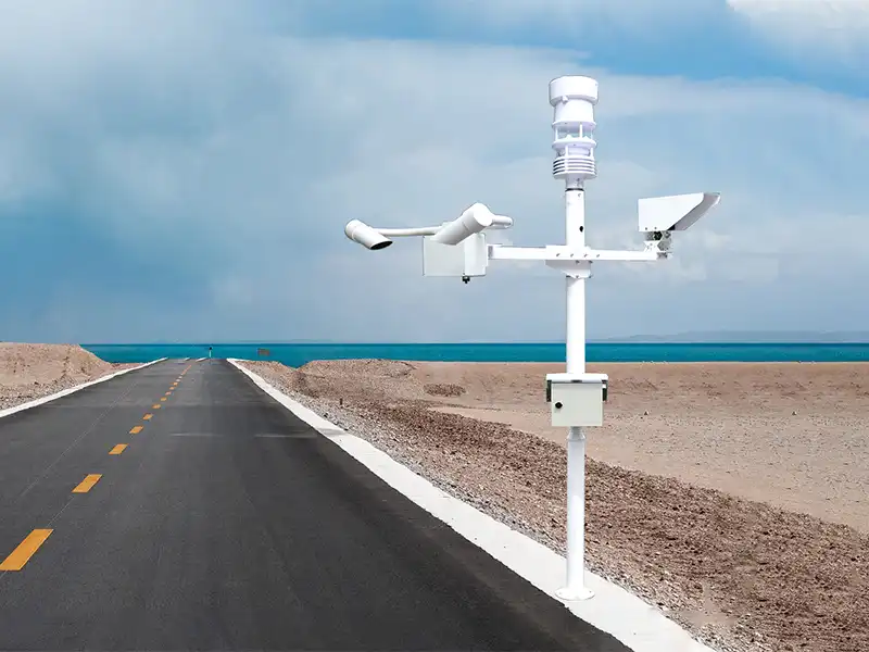
สถานีตรวจอากาศถนน เป็นระบบตรวจสอบภาคสนามที่ใช้รวบรวมข้อมูลสภาพอากาศที่หรือใกล้ถนนและทางหลวง โดยทั่วไปจะวัดอุณหภูมิอากาศ ความชื้นสัมพัทธ์ ความเร็วและทิศทางลม ปริมาณฝน และความกดอากาศ ขึ้นอยู่กับการใช้งาน สถานีสามารถเชื่อมต่อกับเซ็นเซอร์ทัศนวิสัยหรือผิวถนนเพื่อตรวจสอบสภาวะต่างๆ เช่น หมอก น้ำ น้ำแข็ง หิมะ และอุณหภูมิผิวถนน.
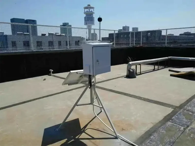
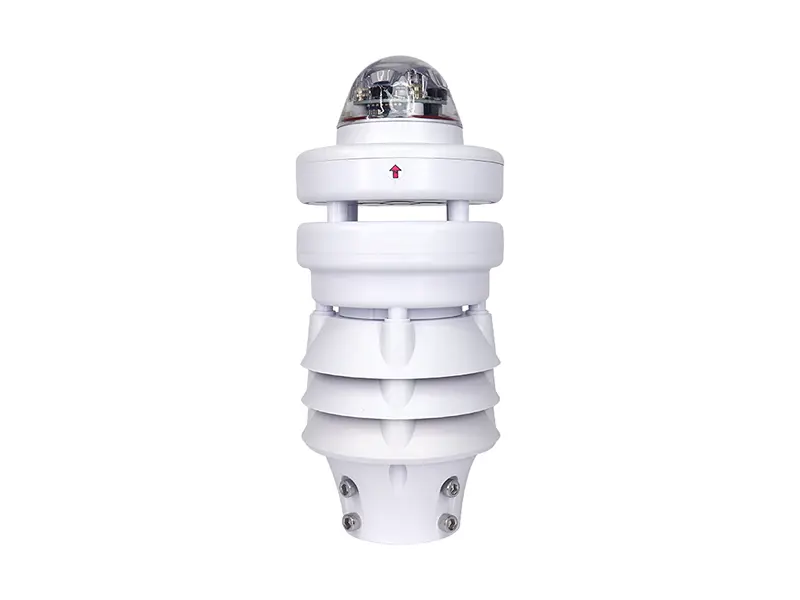
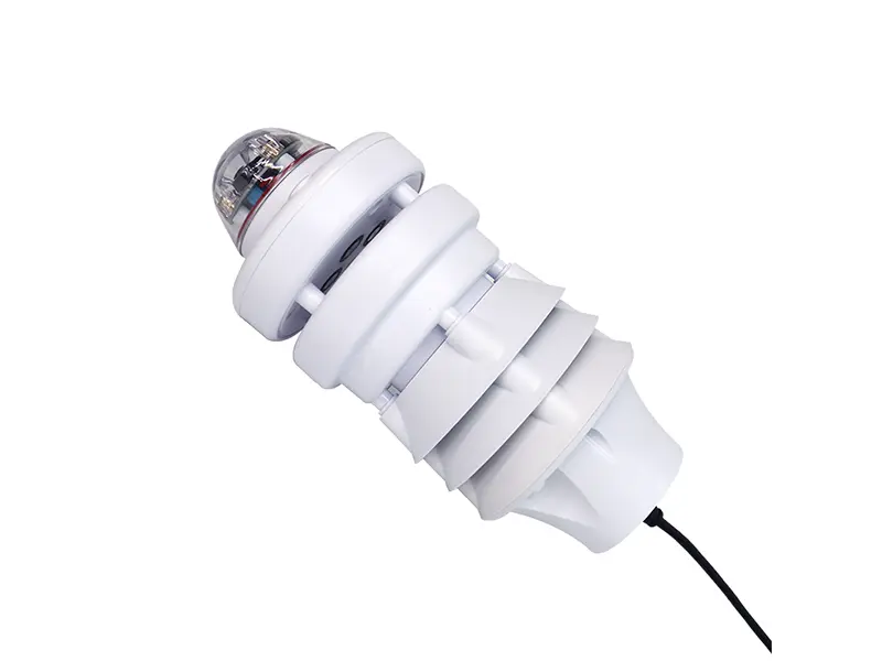
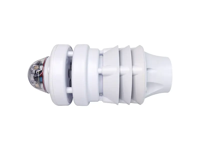
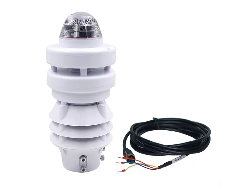
ข้อมูลเซ็นเซอร์ถูกรวบรวมโดยหน่วยเก็บข้อมูลและส่งไปยังแพลตฟอร์มตรวจสอบสำหรับการสังเกตอย่างต่อเนื่องและการวิเคราะห์เพิ่มเติม ในการตรวจสอบสภาพอากาศถนนในทางปฏิบัติ การกำหนดค่าเซ็นเซอร์จะถูกเลือกตามสภาพแวดล้อมถนน สภาพอากาศท้องถิ่น และพารามิเตอร์เฉพาะที่ต้องตรวจสอบ ตัวอย่างเช่น XF600L ของ Yantai Sensor รวมการวัดบรรยากาศหลายอย่างไว้ในหน่วยเดียวที่กะทัดรัด และสามารถใช้เป็นส่วนตรวจสอบสภาพอากาศของระบบตรวจสอบการขนส่งที่กว้างขึ้น.
สถานีตรวจอากาศถนนทำงานอย่างไร?
สถานีตรวจอากาศถนนทำงานผ่านกระบวนการต่อเนื่องของการรวบรวมข้อมูล การประมวลผลข้อมูล การส่งข้อมูลระยะไกล และการตรวจสอบ เซ็นเซอร์ต่างๆ จะรวบรวมพารามิเตอร์สภาพอากาศและสภาพถนนที่จำเป็นสำหรับการใช้งาน ในขณะที่หน่วยเก็บข้อมูล โมดูลสื่อสาร และแพลตฟอร์มตรวจสอบจะเปลี่ยนการวัดเหล่านี้เป็นข้อมูลการตรวจสอบสภาพอากาศถนนที่ใช้งานได้.
เซ็นเซอร์รวบรวมข้อมูลสภาพอากาศถนน
ขั้นตอนแรกคือการรวบรวมพารามิเตอร์สิ่งแวดล้อมที่อาจส่งผลต่อการดำเนินงานถนน ขึ้นอยู่กับการใช้งาน สถานีสามารถวัดอุณหภูมิอากาศ ความชื้นสัมพัทธ์ ความเร็วและทิศทางลม ปริมาณฝน และความกดอากาศ เซ็นเซอร์ทัศนวิสัยและผิวถนนยังสามารถเพิ่มได้เมื่อจำเป็นต้องตรวจสอบหมอก น้ำแข็ง หิมะ หรือสภาพผิวถนน.
การรวมเซ็นเซอร์ที่แน่นอนขึ้นอยู่กับสภาพแวดล้อมถนน สภาพอากาศท้องถิ่น และข้อกำหนดการตรวจสอบ.
การเก็บข้อมูลประมวลผลการวัด
สัญญาณที่รวบรวมจะถูกส่งไปยังหน่วยเก็บข้อมูลหรือเครื่องบันทึกข้อมูล ซึ่งรับการวัดจากเซ็นเซอร์ที่เชื่อมต่อและจัดระเบียบเป็นชุดข้อมูลที่สอดคล้องกัน ขึ้นอยู่กับการออกแบบระบบ หน่วยยังสามารถประมวลผล ประทับเวลา และจัดเก็บการวัดก่อนที่จะส่ง.
ฟังก์ชันหลักประกอบด้วย:
- การรวบรวมสัญญาณ: รับสัญญาณการวัดจากเซ็นเซอร์ที่เชื่อมต่อ.
- การประมวลผลข้อมูล: แปลงและจัดระเบียบเอาต์พุตเซ็นเซอร์เป็นค่าที่ใช้งานได้.
- การประทับเวลา: เชื่อมโยงการวัดแต่ละครั้งกับเวลาที่บันทึก.
- การจัดเก็บข้อมูล: จัดเก็บบันทึกการตรวจสอบสำหรับการตรวจสอบหรือวิเคราะห์ในภายหลัง.
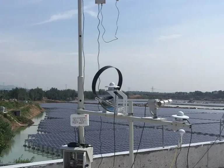
ระบบตรวจสอบสถานีตรวจอากาศที่สมบูรณ์จึงสามารถรวมเซ็นเซอร์อุตุนิยมวิทยา เครื่องบันทึกข้อมูล โมดูลสื่อสาร แหล่งจ่ายไฟ และแพลตฟอร์มตรวจสอบ โดยแต่ละส่วนจัดการขั้นตอนเฉพาะของกระบวนการตรวจสอบ.
การสื่อสารส่งข้อมูลไปยังแพลตฟอร์มตรวจสอบ
หลังการประมวลผล ข้อมูลจะถูกส่งจากสถานีริมถนนไปยังแพลตฟอร์มตรวจสอบหรือศูนย์ควบคุม วิธีการสื่อสารขึ้นอยู่กับสถานที่ติดตั้งและสถาปัตยกรรมระบบ.
อินเทอร์เฟซและตัวเลือกการสื่อสารทั่วไปประกอบด้วย RS485, Modbus RTU, 4G, LoRa และ Ethernet RS485 และ Modbus RTU สามารถใช้สำหรับการสื่อสารระหว่างเซ็นเซอร์ภาคสนามและตัวควบคุม ในขณะที่ 4G, LoRa หรือ Ethernet สามารถเชื่อมต่อสถานีกับแพลตฟอร์มตรวจสอบระยะไกล.
แพลตฟอร์มเปลี่ยนข้อมูลเซ็นเซอร์เป็นข้อมูลสภาพอากาศถนน
แพลตฟอร์มตรวจสอบรับการวัดจากสถานีริมถนนหนึ่งแห่งหรือมากกว่าและแปลงเป็นข้อมูลสภาพอากาศถนนที่ใช้งานได้ ผู้ดำเนินการสามารถดูสภาพปัจจุบัน ตรวจสอบข้อมูลย้อนหลัง และตรวจสอบเกณฑ์การเตือนที่กำหนดค่าไว้ในส่วนถนนต่างๆ.
เมื่อเซ็นเซอร์ภาคสนาม การเก็บข้อมูล การสื่อสาร และแพลตฟอร์มตรวจสอบเชื่อมต่อเป็นระบบเดียว จะก่อให้เกิดระบบข้อมูลสภาพอากาศถนน (RWIS) ระบบให้ข้อมูลต่อเนื่องสำหรับการตรวจสอบสภาพอากาศถนนและสามารถสนับสนุนการตัดสินใจเชิงปฏิบัติการเมื่อตรวจพบสภาวะต่างๆ เช่น ทัศนวิสัยต่ำ ฝนตกหนัก ลมแรง หรือสภาพผิวถนนที่อาจเป็นอันตราย.

เซ็นเซอร์ใดบ้างที่ใช้ในสถานีตรวจอากาศถนน?
สถานีตรวจอากาศถนนรวมเซ็นเซอร์หลายตัวเพื่อวัดสภาพอากาศรอบถนน และเมื่อจำเป็น สภาพบนผิวถนนเอง สถานีตรวจสอบสภาพอากาศทั่วไปอาจวัดอุณหภูมิ ความชื้น ลม และปริมาณฝน เซ็นเซอร์ทัศนวิสัยและผิวถนนจะถูกเพิ่มเมื่อสถานที่ตรวจสอบมีความเสี่ยงเฉพาะ เช่น หมอก ฝนตกหนัก น้ำแข็ง หิมะ หรือผิวถนนลื่น.
การรวมเซ็นเซอร์ที่เหมาะสมขึ้นอยู่กับสภาพแวดล้อมถนนและสิ่งที่ผู้ดำเนินการต้องการตรวจสอบ กลุ่มเซ็นเซอร์ห้ากลุ่มต่อไปนี้ครอบคลุมการวัดหลักที่ใช้ในการตรวจสอบสภาพอากาศถนน ตั้งแต่สภาพบรรยากาศพื้นฐานไปจนถึงการสังเกตผิวถนนโดยตรง.
เซ็นเซอร์อุณหภูมิอากาศและความชื้นสัมพัทธ์
อุณหภูมิอากาศช่วยระบุการเปลี่ยนแปลงที่อาจส่งผลต่อสภาพถนน โดยเฉพาะในช่วงอากาศเย็นจัดหรือช่วงที่มีความร้อนสูง ความชื้นสัมพัทธ์อธิบายระดับความชื้นในอากาศและเพิ่มบริบทที่เป็นประโยชน์เมื่อตรวจสอบหมอก หยาดน้ำฟ้า หรือการควบแน่นที่อาจเกิดขึ้น อย่างไรก็ตาม ความชื้นสัมพัทธ์เพียงอย่างเดียวไม่สามารถระบุได้ว่าพื้นผิวถนนแข็งตัวหรือไม่ อาจจำเป็นต้องใช้อุณหภูมิพื้นผิวถนนและการวัดสภาพถนนอื่นๆ เพื่อการประเมินที่ตรงมากขึ้น.
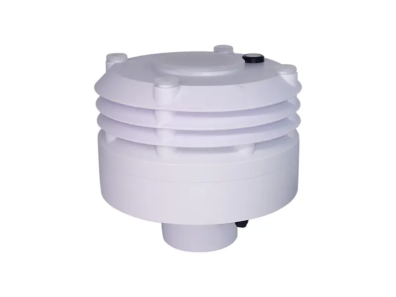
เซ็นเซอร์วัดอุณหภูมิ ความชื้น และความกดอากาศ XF103 ของ Yantai Sensor รวมการวัดอุณหภูมิ ความชื้นสัมพัทธ์ และความกดอากาศไว้ในเซ็นเซอร์เดียว สามารถวัดอุณหภูมิได้ตั้งแต่ -40 ถึง 85°C และความชื้นสัมพัทธ์ตั้งแต่ 0–100% RH ทำให้เหมาะสำหรับการวัดทางอุตุนิยมวิทยากลางแจ้งอย่างต่อเนื่องในระบบตรวจสอบสภาพอากาศถนน.
เซ็นเซอร์วัดความเร็วลมและทิศทางลม
สภาพลมจำเป็นต้องได้รับความสนใจอย่างใกล้ชิดบนสะพาน ถนนยกระดับ ทางหลวงเปิด และตำแหน่งอื่นๆ ที่สัมผัสลม ความเร็วลมสูงสามารถส่งผลต่อการขับขี่ของยานพาหนะ ในขณะที่ทิศทางลมช่วยระบุสภาวะลมตัดและ changes in airflow around a monitored road section การวัดเหล่านี้ยังมีประโยชน์เมื่อเปรียบเทียบสภาพอากาศระหว่างจุดตรวจวัดริมถนนต่างๆ.
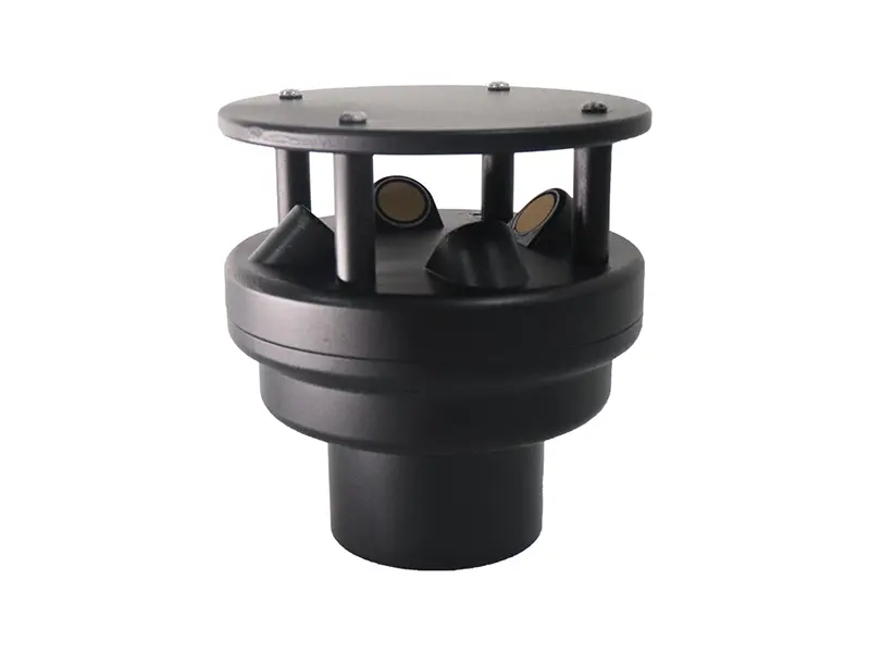
เซ็นเซอร์วัดความเร็วลมและทิศทางลมแบบอัลตราโซนิก XF200A วัดความเร็วลมและทิศทางลมโดยใช้สัญญาณอัลตราโซนิก โดยมีช่วงความเร็วลม 0–60 m/s และทิศทางลม 0–359.9° ไม่มีชิ้นส่วนหมุนเชิงกลและรองรับการสื่อสาร RS485/Modbus สำหรับเชื่อมต่อกับระบบตรวจสอบสภาพอากาศถนน.
เซ็นเซอร์วัดปริมาณน้ำฝน
การวัดปริมาณน้ำฝนแสดงให้เห็นว่าเมื่อใดที่หยาดน้ำฟ้าเริ่มต้น ความรุนแรงเป็นอย่างไร และสภาพเปลี่ยนแปลงอย่างไรในช่วงฝนตก สำหรับผู้ดำเนินการถนน ข้อมูลนี้สามารถพิจารณาร่วมกับข้อมูลพื้นผิวถนนและทัศนวิสัยเมื่อตรวจสอบถนนเปียก ฝนตกหนัก และสภาพที่เกี่ยวข้องกับการระบายน้ำ เซ็นเซอร์วัดปริมาณน้ำฝนเองไม่ได้วัดน้ำขังหรือประสิทธิภาพการระบายน้ำ ดังนั้นจึงไม่ควรอนุมานสภาพเหล่านั้นจากข้อมูลปริมาณน้ำฝนเพียงอย่างเดียว.
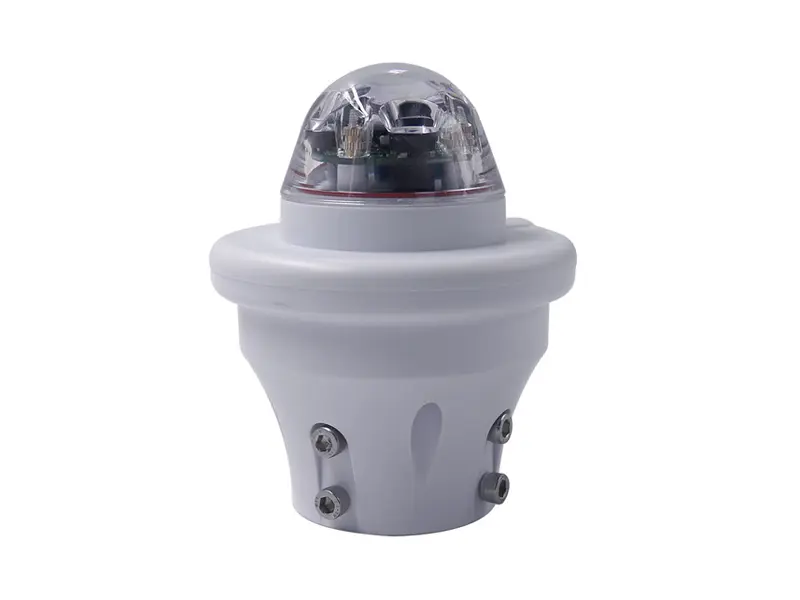
เซ็นเซอร์วัดปริมาณน้ำฝนแบบออปติคัล XF100A ใช้การตรวจจับด้วยแสงเพื่อตรวจจับปริมาณน้ำฝนโดยไม่มีโครงสร้างแบบถังกระดกเชิงกล สามารถวัดความเข้มของฝนได้ตั้งแต่ 0–200 mm/h และสามารถติดตั้งเป็นหน่วยวัดปริมาณน้ำฝนอิสระภายในระบบตรวจสอบสภาพอากาศถนน.
เซ็นเซอร์ตรวจจับการมองเห็น
ทัศนวิสัยจำเป็นต้องมีการวัดของตัวเองเนื่องจากเซ็นเซอร์วัดอุณหภูมิ ความชื้น และปริมาณน้ำฝนไม่ได้วัดทัศนวิสัยในบรรยากาศโดยตรง หมอก หิมะ ฝุ่น หมอกควัน และฝนตกหนักสามารถลดทัศนวิสัยได้อย่างรวดเร็ว ซึ่งทำให้พารามิเตอร์นี้มีความเกี่ยวข้องเป็นพิเศษกับการตรวจสอบสภาพอากาศทางหลวงในบริเวณที่เสี่ยงต่อหมอก สะพาน ทางเข้าอุโมงค์ และตำแหน่งอื่นๆ ที่มีสภาพทัศนวิสัยเปลี่ยนแปลง.
เซ็นเซอร์วัดทัศนวิสัย XF-CQ10 ใช้หลักการกระเจิงไปข้างหน้าเพื่อวัดทัศนวิสัยในบรรยากาศตั้งแต่ 10 ม. ถึง 10 กม. รองรับเอาต์พุต RS485/Modbus และสามารถตรวจสอบทัศนวิสัยที่ลดลงซึ่งเกิดจากหมอก ฝน หิมะ ฝุ่น และหมอกควัน ดังนั้นเซ็นเซอร์นี้จึงสามารถใช้เป็นอุปกรณ์วัดทัศนวิสัยเฉพาะทางควบคู่กับเซ็นเซอร์อุตุนิยมวิทยาอื่นๆ.
เซนเซอร์ตรวจสอบสภาพพื้นผิวถนน
การวัดสภาพอากาศอธิบายบรรยากาศ แต่ไม่ได้บอกเสมอว่าเกิดอะไรขึ้นบนพื้นผิวถนน ถนนสามารถเกิดน้ำ น้ำแข็ง หรือหิมะได้เนื่องจากอุณหภูมิพื้นผิวถนน หยาดน้ำฟ้า การบังแดด การระบายน้ำ และสภาพท้องถิ่น ดังนั้นการตรวจสอบพื้นผิวโดยตรงจึงมีประโยชน์บนถนนที่จำเป็นต้องตรวจจับพื้นผิวลื่นหรือสภาพฤดูหนาว.
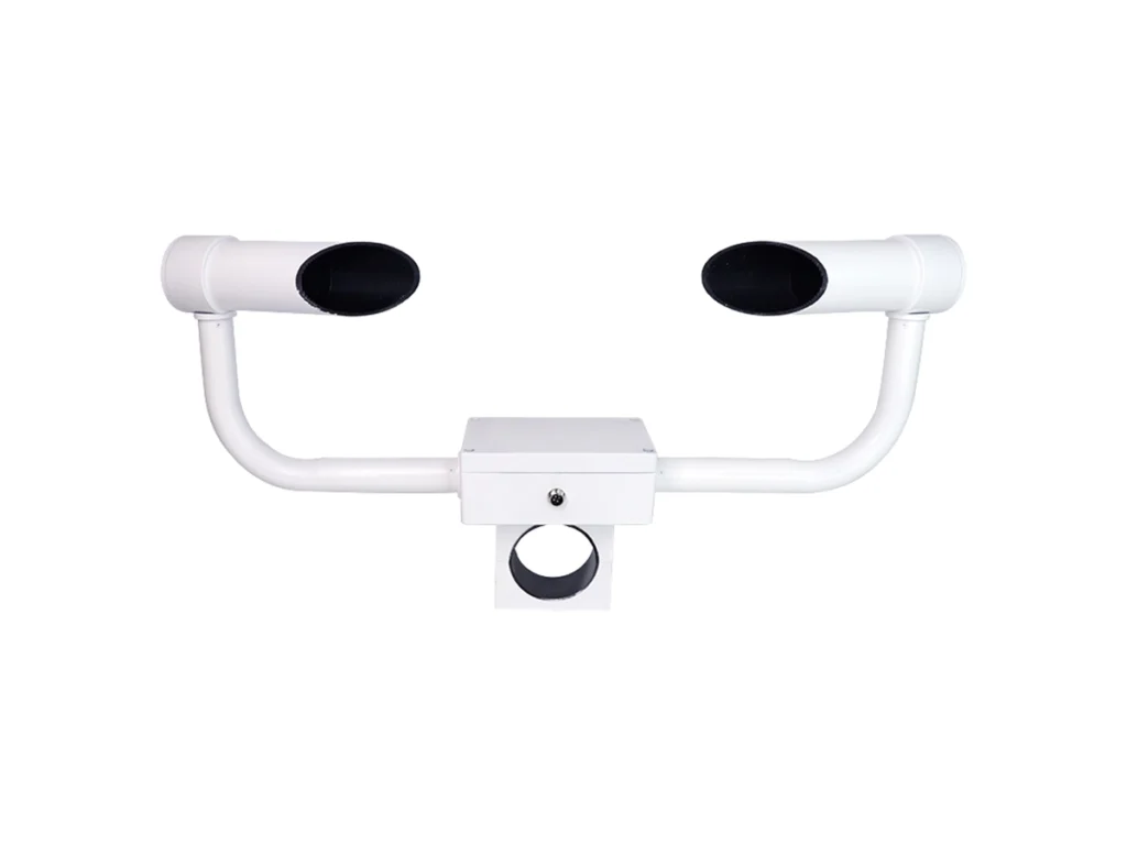
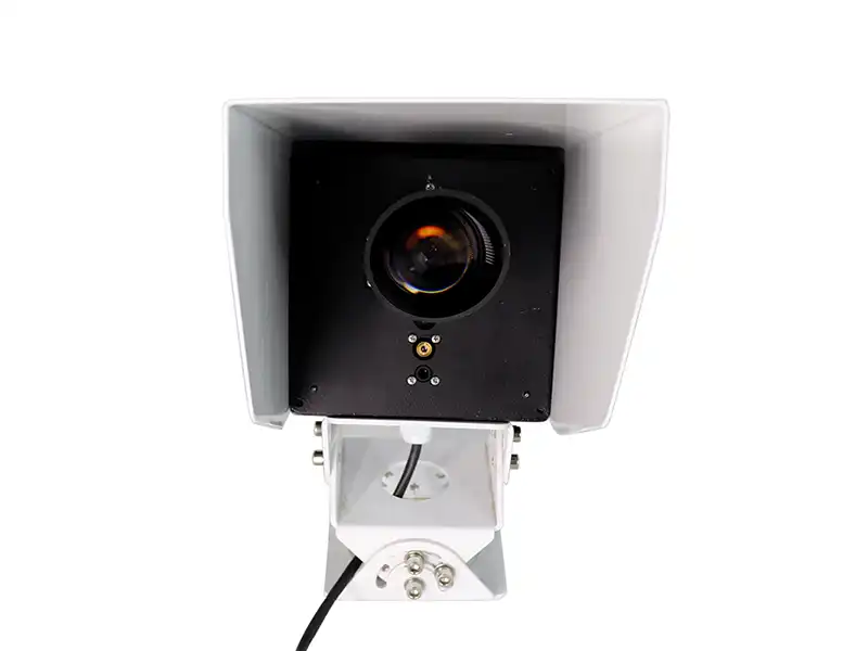
เซนเซอร์ตรวจสภาพถนนรุ่น XF-CQ11 ใช้การรับรู้ระยะไกลแบบอินฟราเรด/เลเซอร์แบบไม่สัมผัสเพื่อตรวจสอบพื้นผิวถนนจากระยะ 3–10 ม. สามารถตรวจจับน้ำ น้ำแข็ง และหิมะ วัดอุณหภูมิพื้นผิวถนน และประเมินความลื่น การติดตั้งแบบไม่สัมผัสหลีกเลี่ยงการวางชิ้นส่วนตรวจจับบนพื้นผิวการจราจรโดยตรงและช่วยให้สามารถตรวจสอบพื้นผิวถนนได้อย่างต่อเนื่อง.
การตรวจสอบสภาพอากาศถนนเก็บและประมวลผลข้อมูลอย่างไร?
Road weather monitoring connects field sensors, data acquisition, communication, and a monitoring platform into one continuous data path. Measurements collected at the roadside are processed locally and then transmitted for display, storage, and further use.
Field Data Collection and Processing
Field sensors measure the weather or road-surface parameters required at a specific monitoring location. Their signals are sent to a data acquisition unit or data logger, which receives measurements from different sensors and organizes them into a consistent data set.
The acquisition unit can process measurement values, add timestamps, and store monitoring records before transmission. Its role is to provide a common interface between the field sensors and the communication system, especially when several sensors with different outputs are installed at the same monitoring point.
Data Transmission and Monitoring
After local processing, the data is transferred from the roadside station to a monitoring center or remote platform. RS485/Modbus RTU can connect field sensors to the local controller, while 4G, LoRa, or Ethernet can be used to transmit processed data to a remote monitoring platform. The actual communication configuration depends on the site and system architecture.
The monitoring platform organizes the incoming measurements by monitoring point and time, allowing operators to view current conditions and review historical records. Configured thresholds can also generate alerts when selected parameters reach defined conditions. This data chain supports continuous road weather monitoring and provides the basis for a road weather information system (RWIS).
Sensors → Data Acquisition → Communication → Monitoring Platform → Warning / Operations
These components make up the basic data path of a road weather monitoring system. For a deeper look at how the sensors, communication equipment, data acquisition, and monitoring platform work together as a complete RWIS, see our guide to the Road Weather Information System (RWIS).
What Is a Road Weather Information System?
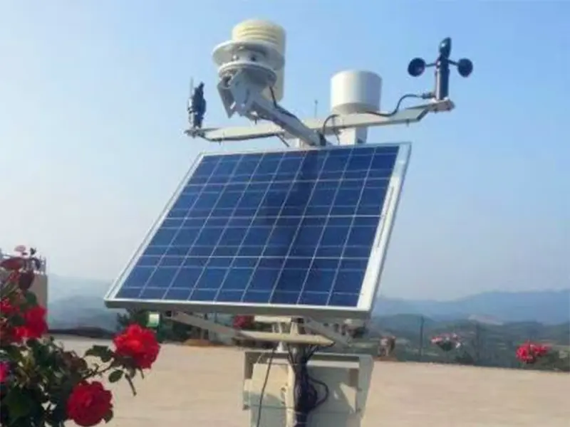
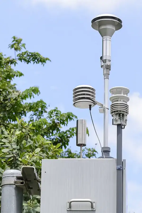
A Road Weather Information System (RWIS) connects roadside sensors, data acquisition equipment, communication networks, and a monitoring platform. A Road Weather Station acts as a field monitoring point, collecting weather and road-condition data such as temperature, wind, rainfall, visibility, and pavement conditions.
Roadside Sensors → Data Acquisition → Communication Network → RWIS Platform → Road Operations
The collected data is processed and transmitted to the platform for centralized monitoring and historical analysis. Multiple road weather stations can therefore work together to support road weather monitoring, highway maintenance, and traffic management.
For related sensor applications, see our Intelligent Transportation System Sensors guide.
Where Are Road Weather Stations Used?
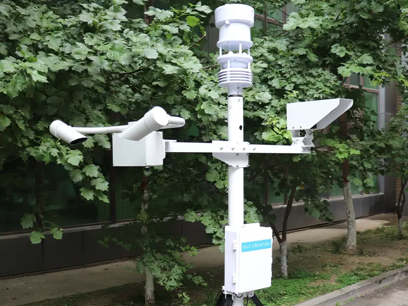
Road weather stations are mainly installed where changing weather or road-surface conditions can directly affect driving safety and road operations. The required sensors vary by location, so a highway monitoring point may focus on rainfall and visibility, while a bridge or winter road section may require additional wind or pavement-condition measurements.
การใช้งานทั่วไป ได้แก่:
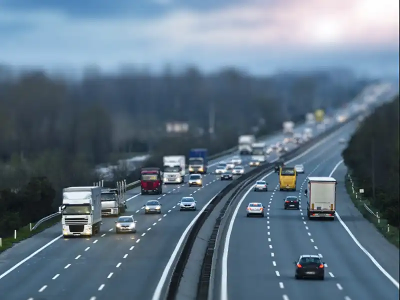
- Highway Weather Monitoring — Monitoring temperature, rainfall, wind speed and direction, visibility, and other adverse weather conditions along highways.
- Bridge and Elevated Road Monitoring — Tracking wind exposure, temperature, precipitation, and pavement conditions on bridges and elevated sections.
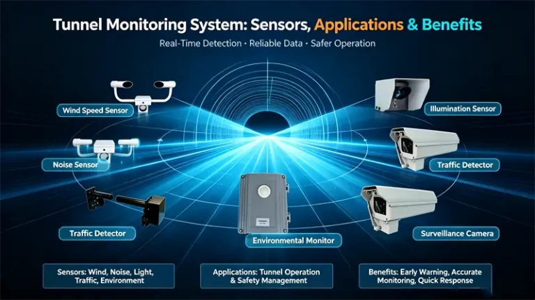
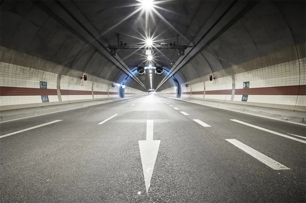
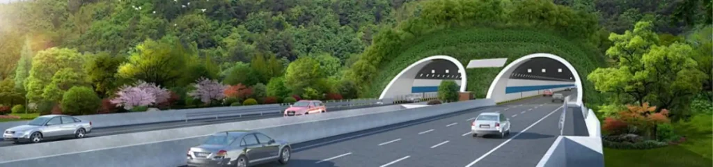
- Tunnel Entrances and Exits — Monitoring changes in temperature, humidity, condensation, icing, and visibility around tunnel transition areas.
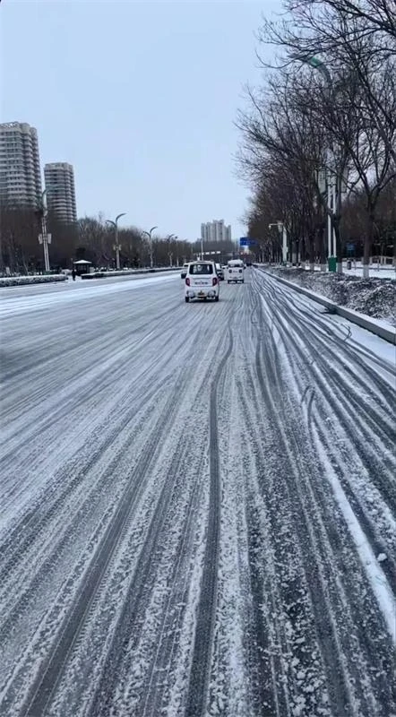
- Winter Road Monitoring — Measuring road temperature and monitoring conditions related to water, ice, and snow. For a closer look at direct pavement monitoring, see our เซนเซอร์สภาพถนนคืออะไร?
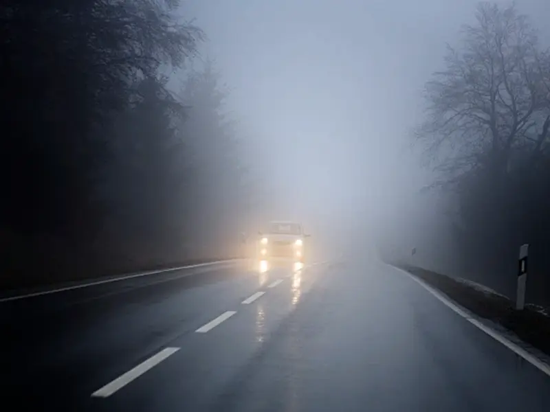
- Fog and Low-Visibility Monitoring — Using dedicated visibility measurements to monitor fog, heavy rain, snow, haze, and other conditions that can reduce the available visibility distance.
What Data Does a Road Weather Station Monitor?
A Road Weather Station monitors atmospheric weather conditions and, when required, road-surface conditions. The exact sensor configuration depends on the road environment, local climate, and monitoring requirements.
| พารามิเตอร์ | เซ็นเซอร์ | Monitoring Purpose |
| อุณหภูมิอากาศ | เซ็นเซอร์วัดอุณหภูมิ | Detects freezing and heat conditions |
| ความชื้นสัมพัทธ์ | RH sensor | Indicates atmospheric moisture and fog risk |
| Wind speed & direction | Wind sensor | Monitors strong winds and crosswind conditions |
| ปริมาณน้ำฝน | Rain sensor | Measures precipitation and wet-weather conditions |
| ความดันบรรยากาศ | Pressure sensor | Provides additional atmospheric information |
| Visibility | เซ็นเซอร์วัดทัศนวิสัย | Monitors fog and low-visibility conditions |
| Road temperature | Road condition sensor | Helps assess potential freezing conditions |
| Water, ice & snow | Road condition sensor | Monitors pavement conditions and slipperiness |
Not every Road Weather Station requires all of these sensors. Atmospheric sensors describe the weather around the road, while road-condition sensors provide more direct information about the pavement. The final sensor configuration should match the road environment, local hazards, and monitoring requirements.
How to Choose a Road Weather Station?
Choosing a Road Weather Station should start with the road section and the parameters that need to be monitored. Basic weather monitoring may only require temperature, humidity, wind, and rainfall, while fog-prone or winter roads may also need visibility or road-surface condition sensors.
Before finalizing the configuration, check these practical points:
- Parameters: Temperature, RH, wind, rainfall, pressure, visibility, or road conditions.
- Road conditions: Add a road condition sensor for direct monitoring of water, ice, snow, or slipperiness.
- Communication: Confirm RS485/Modbus RTU, 4G, LoRa, Ethernet, or other required interfaces.
- Power: Select AC, solar, battery, or hybrid power according to the site.
- Installation: Consider the road type, sensor position, mounting height, and local weather exposure.
- Integration: Check compatibility with the existing data logger, RWIS platform, or traffic monitoring system.
The final configuration should match the actual monitoring requirements and site conditions rather than simply selecting a station with more sensors. This approach also makes system integration and maintenance more straightforward.
Road Weather Station Installation Considerations
A technically capable sensor can still produce poor data if its installation does not represent the road section being monitored. For a Road Weather Station, both the site conditions and the sensor setup should be checked before deployment, followed by a basic commissioning check after installation.
Installation Before Deployment
Start with the actual monitoring location and the parameters required. Check the sensor position, installation height, nearby buildings or trees, road geometry, power supply, communication coverage, and access for future maintenance.
Different sensors also have different installation requirements. Wind sensors need adequate exposure to airflow, while temperature and humidity sensors should be kept away from heat sources and surfaces that may affect readings. Visibility and road-condition sensors should be positioned where their measurements reflect the road section being monitored.
Installation and Commissioning
After installation, check the mounting structure, sensor orientation, cable connections, power supply, and communication status. The data acquisition unit should receive the expected signals from each sensor, with sensor readings checked against the specified measurement range.
The final step is to verify data transmission to the monitoring platform and confirm that the recorded values and timestamps are correct. If alerts are configured, test the relevant thresholds as well. The installation should also leave enough access for routine sensor inspection, cleaning, and maintenance.


สรุป
A Road Weather Station is the field measurement part of a broader road weather monitoring system. By combining atmospheric, visibility, and road-surface sensors with data acquisition and communication equipment, the system provides continuous information for a road weather information system. For highway weather monitoring, the sensor combination should be based on the local road environment, weather conditions, and specific hazards that need to be monitored.
The practical value of a road weather station depends not only on the sensors themselves, but also on proper site selection, installation, communication, and system integration. Yantai Sensor provides compact weather stations, visibility sensors, and non-contact road condition sensors that can be configured for different transportation monitoring requirements, with experience in matching sensor combinations and communication methods to actual field conditions.
If you are planning a road weather monitoring project, ติดต่อ Yantai Sensor with your monitoring parameters, road environment, and installation requirements. We can help you review the sensor configuration and develop a monitoring setup suited to your application.