导言
For road operators, knowing the air temperature or rainfall is not always enough to understand what is happening on the road. Fog can reduce visibility within a short time, while water, ice, or snow can develop on the pavement even when general weather data does not clearly show the road condition. This is why a road weather station uses different sensors to monitor both the surrounding weather and conditions that may directly affect the road.
A typical system measures air temperature, relative humidity, wind speed and direction, and rainfall, with visibility and road-surface sensors added when required. The sensor data is collected and transmitted to a monitoring platform for road weather monitoring and highway weather monitoring. The following sections explain how these sensors work together, how the data is collected and transmitted, and how the system is configured for different road applications.
What Is a Road Weather Station?
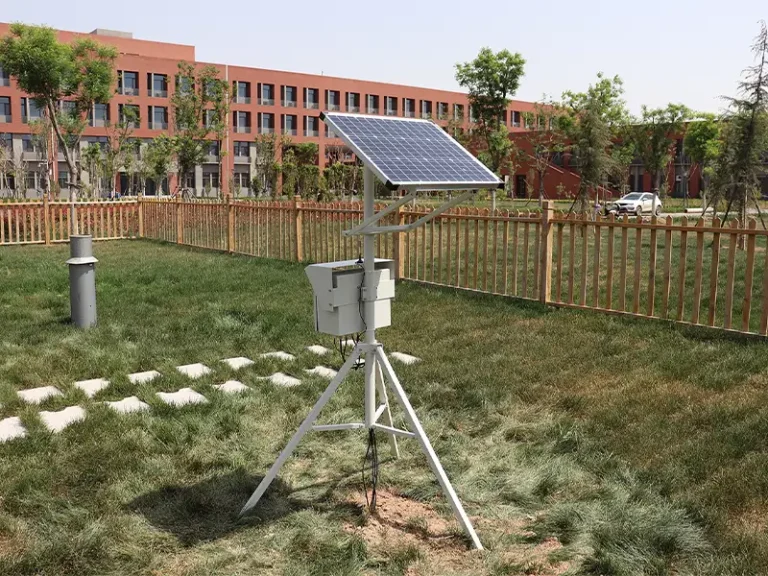
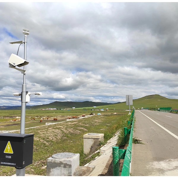
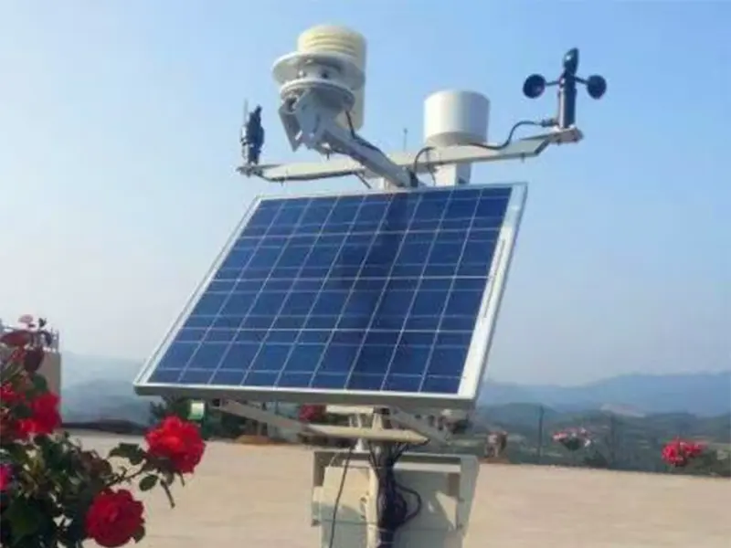
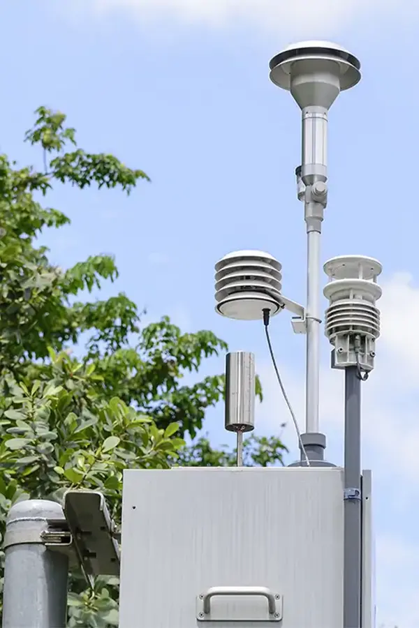
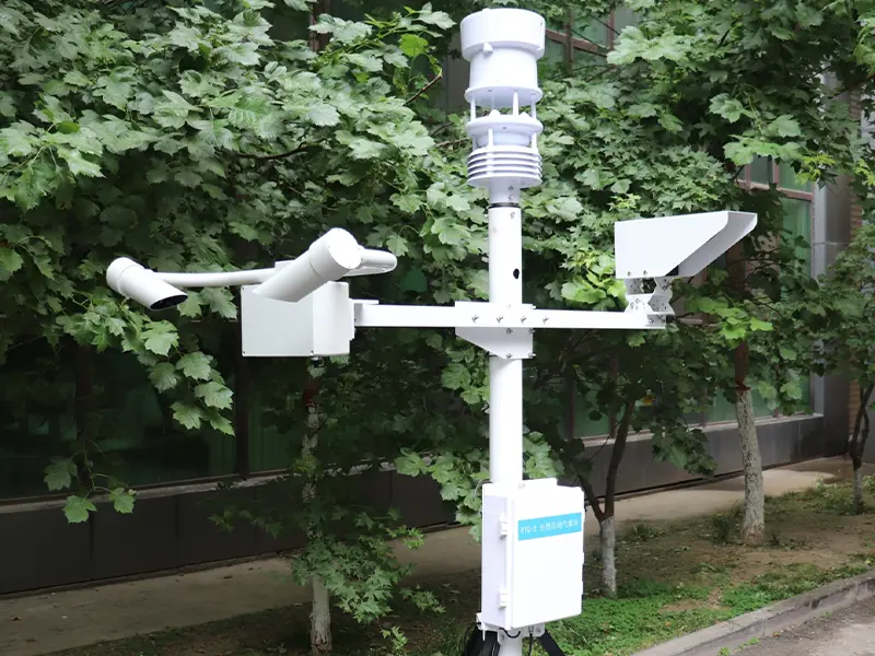
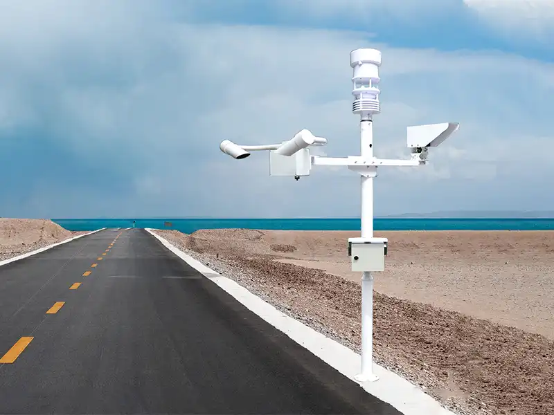
A road weather station is a field monitoring system used to collect weather data at or near roads and highways. It typically measures air temperature, relative humidity, wind speed and direction, rainfall, and atmospheric pressure. Depending on the application, the station can also be integrated with visibility or road-surface sensors to monitor conditions such as fog, water, ice, snow, and pavement temperature.
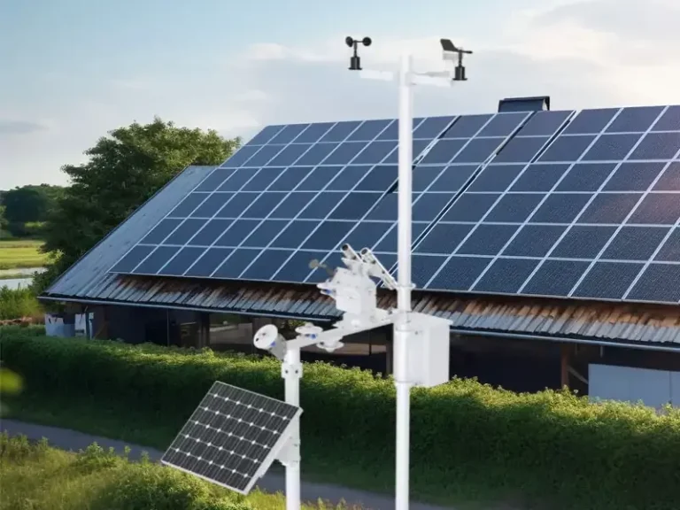
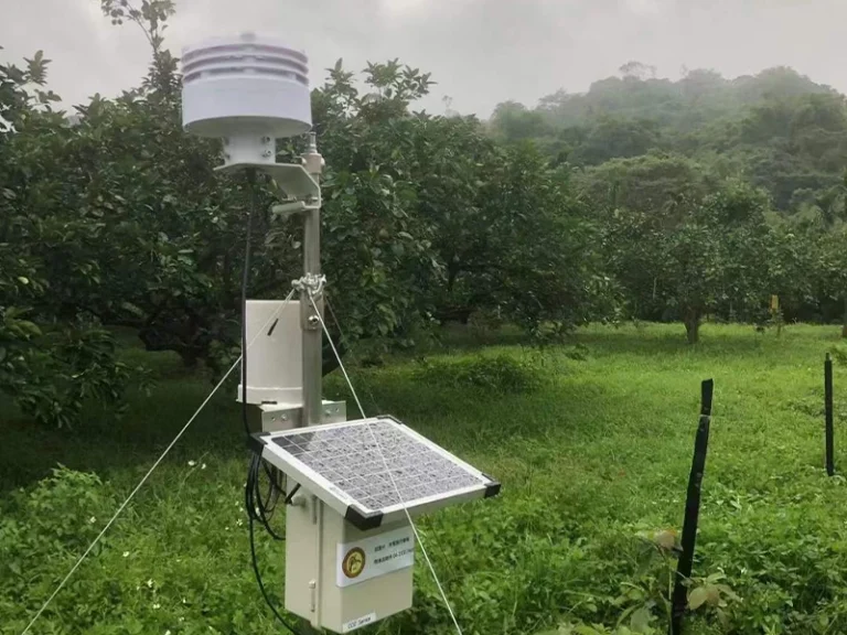
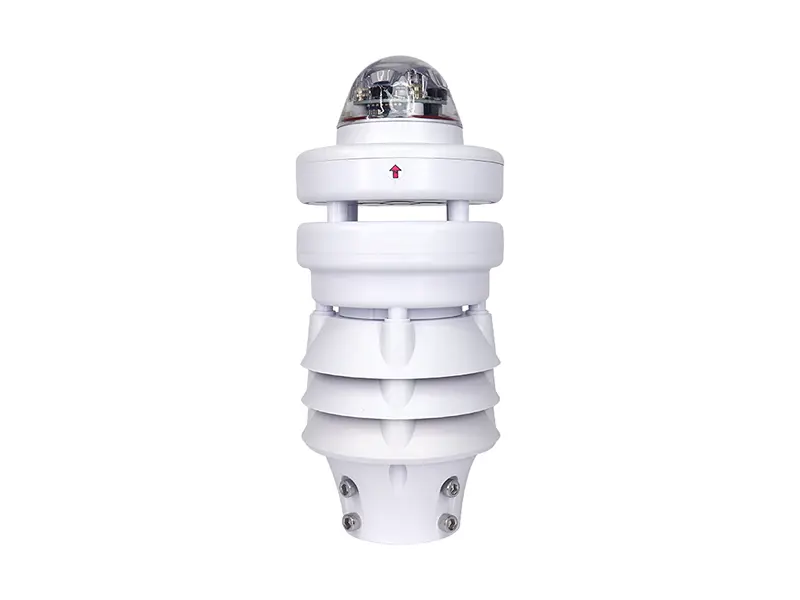
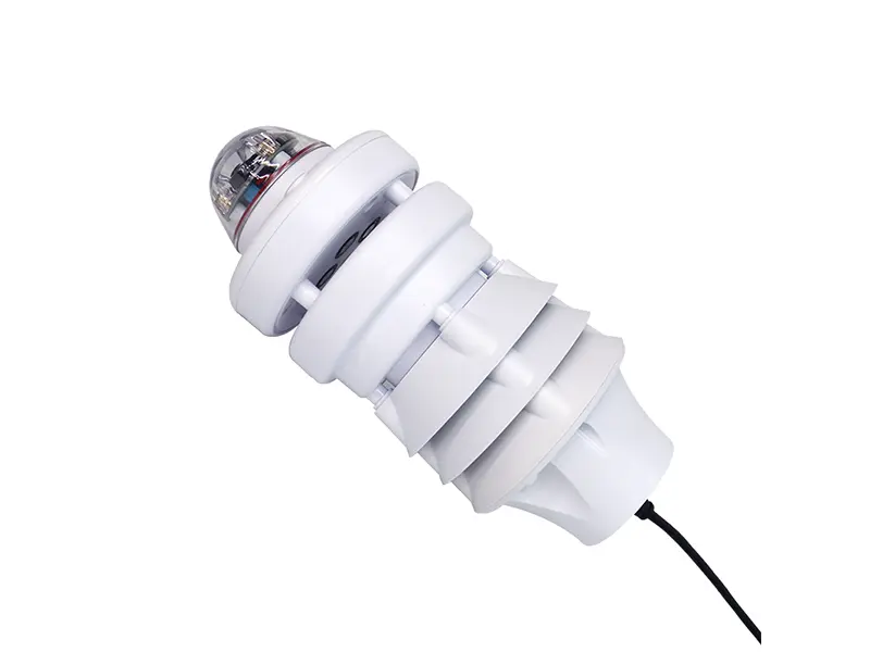
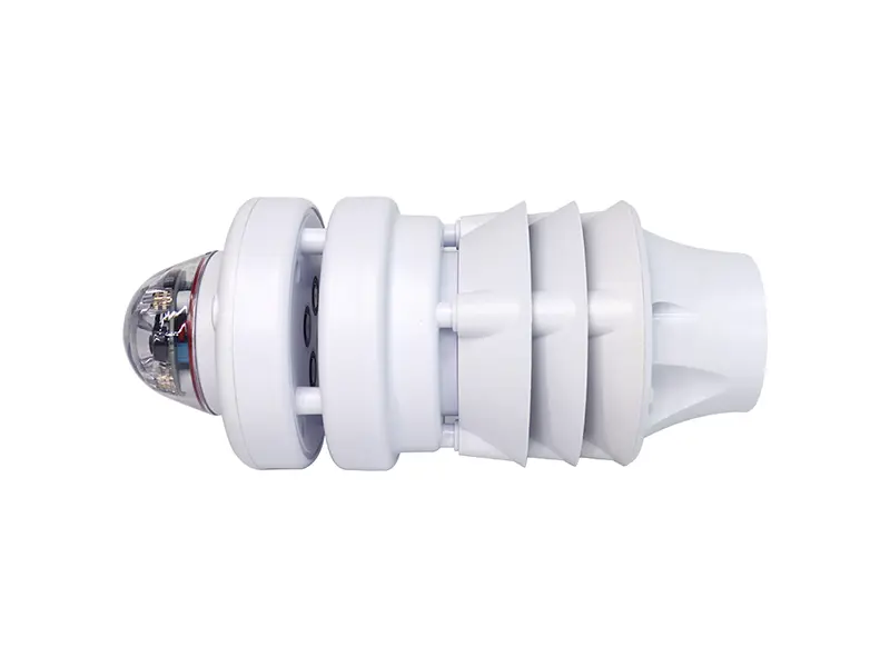
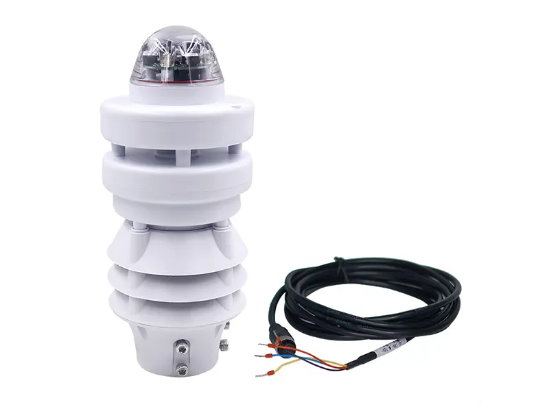
The sensor data is collected by a data acquisition unit and transmitted to a monitoring platform for continuous observation and further analysis. In practical road weather monitoring, the sensor configuration is selected according to the road environment, local weather conditions, and the specific parameters that need to be monitored. For example, Yantai Sensor’s XF600L combines multiple atmospheric measurements in one compact unit and can be used as the weather monitoring part of a broader transportation monitoring system.
How Does a Road Weather Station Work?
A road weather station works through a continuous process of data collection, data processing, remote transmission, and monitoring. Different sensors collect the weather and road-condition parameters required for the application, while the data acquisition unit, communication module, and monitoring platform turn these measurements into usable road weather monitoring information.
Sensors Collect Road Weather Data
The first step is to collect the environmental parameters that may affect road operation. Depending on the application, the station can measure air temperature, relative humidity, wind speed and direction, rainfall, and atmospheric pressure. Visibility and road-surface sensors can also be added when fog, ice, snow, or pavement conditions need to be monitored.
The exact sensor combination depends on the road environment, local weather conditions, and monitoring requirements.
Data Acquisition Processes the Measurements
The collected signals are sent to a data acquisition unit or data logger, which receives measurements from the connected sensors and organizes them into a consistent data set. Depending on the system design, the unit can also process, timestamp, and store the measurements before they are transmitted.
The main functions include:
- Signal collection: receives measurement signals from connected sensors.
- Data processing: converts and organizes sensor outputs into usable values.
- Timestamping: associates each measurement with its recording time.
- Data storage: stores monitoring records for later review or analysis.
A complete weather station monitoring system can therefore include meteorological sensors, a data logger, communication module, power supply, and monitoring platform, with each part handling a specific stage of the monitoring process.
Communication Sends Data to the Monitoring Platform
After processing, the data is transmitted from the roadside station to a monitoring platform or control center. The communication method depends on the installation site and system architecture.
Common interfaces and communication options include RS485, Modbus RTU, 4G, LoRa, and Ethernet. RS485 and Modbus RTU can be used for communication between field sensors and the controller, while 4G, LoRa, or Ethernet can connect the station to a remote monitoring platform.
The Platform Turns Sensor Data into Road Weather Information
The monitoring platform receives measurements from one or more roadside stations and converts them into usable road weather information. Operators can view current conditions, review historical data, and monitor configured warning thresholds across different road sections.
When field sensors, data acquisition, communication, and the monitoring platform are connected as one system, they form a road weather information system (RWIS). The system provides continuous data for road weather monitoring and can support operational decisions when conditions such as low visibility, heavy rainfall, strong wind, or potentially hazardous pavement conditions are detected.

What Sensors Are Used in a Road Weather Station?
A road weather station combines several sensors to measure weather conditions around a road and, when needed, conditions on the pavement itself. A typical weather monitoring station may measure temperature, humidity, wind, and rainfall. Visibility and road-surface sensors are added when the monitoring site has specific risks such as fog, heavy precipitation, ice, snow, or slippery pavement.
The right sensor combination depends on the road environment and what the operator needs to monitor. The following five sensor groups cover the main measurements used in road weather monitoring, from basic atmospheric conditions to direct pavement observations.
Air Temperature and Relative Humidity Sensors
Air temperature helps identify changes that may affect road conditions, especially during freezing weather or periods of high heat. Relative humidity describes the moisture level in the air and adds useful context when monitoring fog, precipitation, or possible condensation. However, relative humidity alone cannot determine whether a road surface is frozen. Pavement temperature and other road-condition measurements may be needed for a more direct assessment.
Yantai Sensor’s XF103 Temperature Humidity Pressure Sensor combines temperature, relative humidity, and atmospheric pressure in one sensor. It measures temperature from -40 to 85°C and relative humidity from 0–100% RH, making it suitable for continuous outdoor meteorological measurements in a road weather monitoring setup.
Wind Speed and Wind Direction Sensor
Wind conditions need closer attention on bridges, elevated roads, open highways, and other exposed locations. High wind speeds can affect vehicle operation, while wind direction helps identify crosswind conditions and changes in airflow around a monitored road section. These measurements are also useful when comparing weather conditions between different roadside monitoring points.
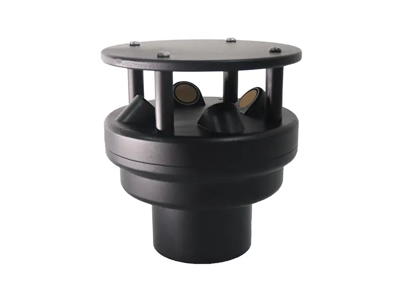
The XF200A Ultrasonic Wind Speed and Direction Sensor measures wind speed and direction using ultrasonic signals, with a wind speed range of 0–60 m/s and wind direction of 0–359.9°. It has no mechanical rotating parts and supports RS485/Modbus communication for connection to a road weather monitoring system.
降雨传感器
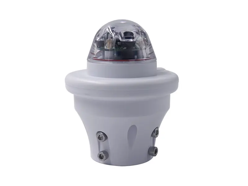
Rainfall measurement shows when precipitation starts, how intense it is, and how conditions change during a rain event. For road operators, this information can be considered alongside pavement and visibility data when monitoring wet roads, heavy rain, and drainage-related conditions. A rainfall sensor itself does not measure standing water or drainage performance, so those conditions should not be inferred from rainfall data alone.
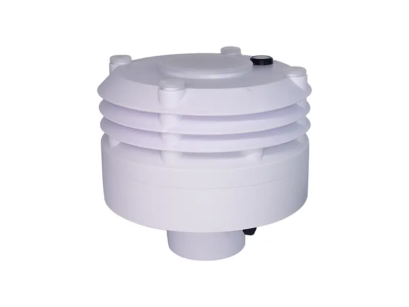
The XF100A Optical Rain Sensor uses optical sensing to detect rainfall without a mechanical tipping-bucket structure. It measures rainfall intensity from 0–200 mm/h and can be installed as an independent rainfall measurement unit within a road weather monitoring system.
可见度传感器
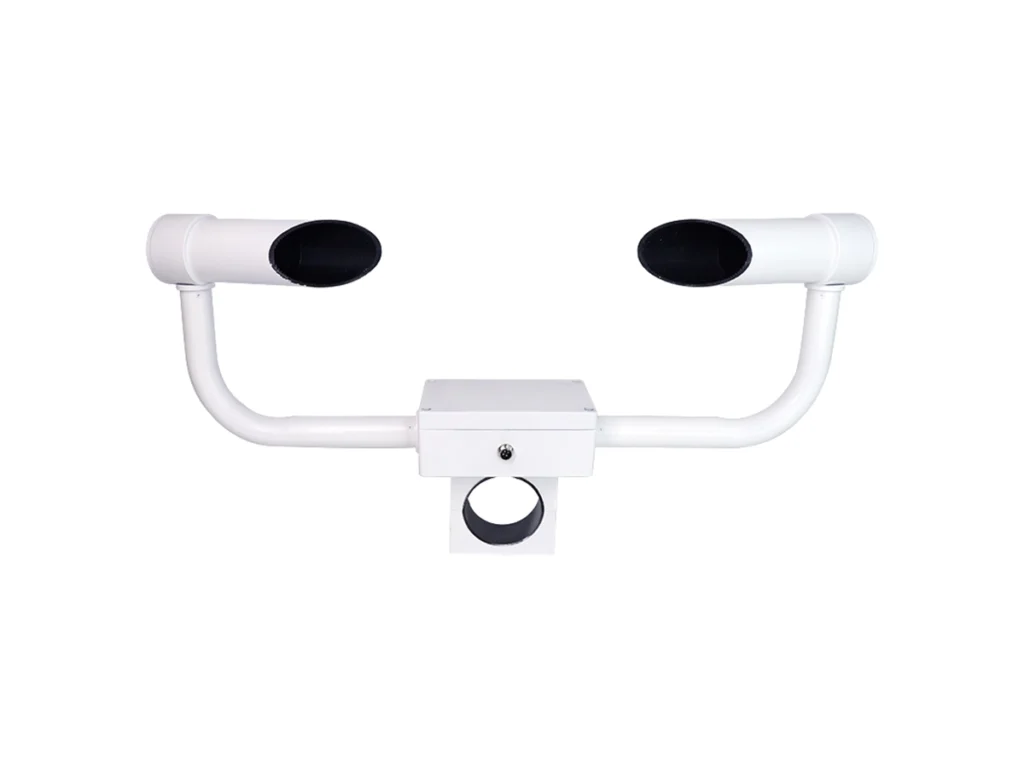
Visibility needs its own measurement because temperature, humidity, and rainfall sensors do not directly measure atmospheric visibility. Fog, snow, dust, haze, and heavy rain can reduce visibility quickly, which makes this parameter especially relevant to highway weather monitoring at fog-prone sections, bridges, tunnel approaches, and other locations with changing visibility conditions.
The XF-CQ10 Visibility Sensor uses a forward-scattering principle to measure atmospheric visibility from 10 m to 10 km. It supports RS485/Modbus output and can monitor reduced visibility caused by fog, rain, snow, dust, and haze. The sensor can therefore be used as a dedicated visibility measurement device alongside other meteorological sensors.
路面状态传感器
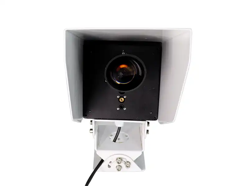
Weather measurements describe the atmosphere, but they do not always tell you what is happening on the pavement. A road can develop water, ice, or snow because of pavement temperature, precipitation, shading, drainage, and local conditions. Direct surface monitoring is therefore useful on roads where slippery pavement or winter conditions need to be detected.
XF-CQ11路面状况传感器 uses non-contact infrared/laser remote sensing to monitor the pavement from a distance of 3–10 m. It can detect water, ice, and snow, measure road-surface temperature, and assess slipperiness. Its non-contact installation avoids placing sensing components directly on the traffic surface and allows the pavement to be monitored continuously.
How Does Road Weather Monitoring Collect and Process Data?
Road weather monitoring connects field sensors, data acquisition, communication, and a monitoring platform into one continuous data path. Measurements collected at the roadside are processed locally and then transmitted for display, storage, and further use.
Field Data Collection and Processing
Field sensors measure the weather or road-surface parameters required at a specific monitoring location. Their signals are sent to a data acquisition unit or data logger, which receives measurements from different sensors and organizes them into a consistent data set.
The acquisition unit can process measurement values, add timestamps, and store monitoring records before transmission. Its role is to provide a common interface between the field sensors and the communication system, especially when several sensors with different outputs are installed at the same monitoring point.
Data Transmission and Monitoring
After local processing, the data is transferred from the roadside station to a monitoring center or remote platform. RS485/Modbus RTU can connect field sensors to the local controller, while 4G, LoRa, or Ethernet can be used to transmit processed data to a remote monitoring platform. The actual communication configuration depends on the site and system architecture.
The monitoring platform organizes the incoming measurements by monitoring point and time, allowing operators to view current conditions and review historical records. Configured thresholds can also generate alerts when selected parameters reach defined conditions. This data chain supports continuous road weather monitoring and provides the basis for a road weather information system (RWIS).
Sensors → Data Acquisition → Communication → Monitoring Platform → Warning / Operations
These components make up the basic data path of a road weather monitoring system. For a deeper look at how the sensors, communication equipment, data acquisition, and monitoring platform work together as a complete RWIS, see our guide to the Road Weather Information System (RWIS).
What Is a Road Weather Information System?
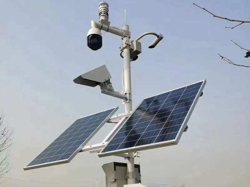
A Road Weather Information System (RWIS) connects roadside sensors, data acquisition equipment, communication networks, and a monitoring platform. A Road Weather Station acts as a field monitoring point, collecting weather and road-condition data such as temperature, wind, rainfall, visibility, and pavement conditions.
Roadside Sensors → Data Acquisition → Communication Network → RWIS Platform → Road Operations
The collected data is processed and transmitted to the platform for centralized monitoring and historical analysis. Multiple road weather stations can therefore work together to support road weather monitoring, highway maintenance, and traffic management.
For related sensor applications, see our Intelligent Transportation System Sensors guide.
Where Are Road Weather Stations Used?
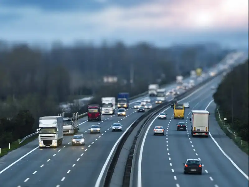
Road weather stations are mainly installed where changing weather or road-surface conditions can directly affect driving safety and road operations. The required sensors vary by location, so a highway monitoring point may focus on rainfall and visibility, while a bridge or winter road section may require additional wind or pavement-condition measurements.
常见应用包括:
- Highway Weather Monitoring — Monitoring temperature, rainfall, wind speed and direction, visibility, and other adverse weather conditions along highways.
- Bridge and Elevated Road Monitoring — Tracking wind exposure, temperature, precipitation, and pavement conditions on bridges and elevated sections.
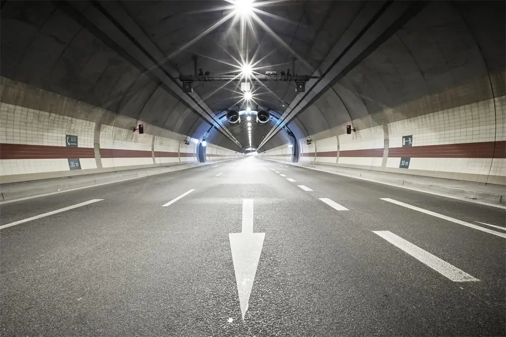
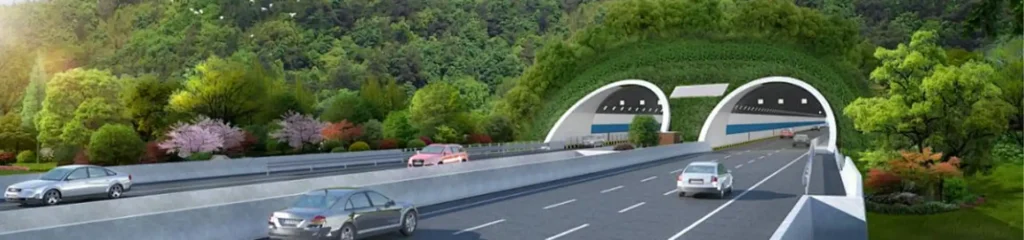
- Tunnel Entrances and Exits — Monitoring changes in temperature, humidity, condensation, icing, and visibility around tunnel transition areas.
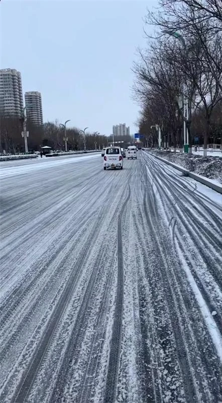
- Winter Road Monitoring — Measuring road temperature and monitoring conditions related to water, ice, and snow. For a closer look at direct pavement monitoring, see our 什么是路面状况传感器?
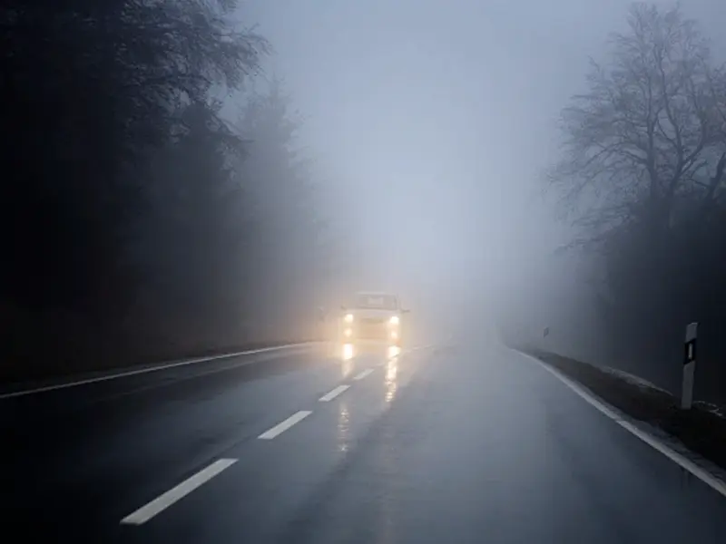
- Fog and Low-Visibility Monitoring — Using dedicated visibility measurements to monitor fog, heavy rain, snow, haze, and other conditions that can reduce the available visibility distance.
What Data Does a Road Weather Station Monitor?
A Road Weather Station monitors atmospheric weather conditions and, when required, road-surface conditions. The exact sensor configuration depends on the road environment, local climate, and monitoring requirements.
| 参数 | 传感器 | Monitoring Purpose |
| 空气温度 | 温度传感器 | Detects freezing and heat conditions |
| 相对湿度 | RH sensor | Indicates atmospheric moisture and fog risk |
| Wind speed & direction | Wind sensor | Monitors strong winds and crosswind conditions |
| 降雨量 | Rain sensor | Measures precipitation and wet-weather conditions |
| 大气压力 | Pressure sensor | Provides additional atmospheric information |
| Visibility | 能见度传感器 | Monitors fog and low-visibility conditions |
| Road temperature | Road condition sensor | Helps assess potential freezing conditions |
| Water, ice & snow | Road condition sensor | Monitors pavement conditions and slipperiness |
Not every Road Weather Station requires all of these sensors. Atmospheric sensors describe the weather around the road, while road-condition sensors provide more direct information about the pavement. The final sensor configuration should match the road environment, local hazards, and monitoring requirements.
How to Choose a Road Weather Station?
Choosing a Road Weather Station should start with the road section and the parameters that need to be monitored. Basic weather monitoring may only require temperature, humidity, wind, and rainfall, while fog-prone or winter roads may also need visibility or road-surface condition sensors.
Before finalizing the configuration, check these practical points:
- Parameters: Temperature, RH, wind, rainfall, pressure, visibility, or road conditions.
- Road conditions: Add a road condition sensor for direct monitoring of water, ice, snow, or slipperiness.
- Communication: Confirm RS485/Modbus RTU, 4G, LoRa, Ethernet, or other required interfaces.
- Power: Select AC, solar, battery, or hybrid power according to the site.
- Installation: Consider the road type, sensor position, mounting height, and local weather exposure.
- Integration: Check compatibility with the existing data logger, RWIS platform, or traffic monitoring system.
The final configuration should match the actual monitoring requirements and site conditions rather than simply selecting a station with more sensors. This approach also makes system integration and maintenance more straightforward.
Road Weather Station Installation Considerations
A technically capable sensor can still produce poor data if its installation does not represent the road section being monitored. For a Road Weather Station, both the site conditions and the sensor setup should be checked before deployment, followed by a basic commissioning check after installation.
Installation Before Deployment
Start with the actual monitoring location and the parameters required. Check the sensor position, installation height, nearby buildings or trees, road geometry, power supply, communication coverage, and access for future maintenance.
Different sensors also have different installation requirements. Wind sensors need adequate exposure to airflow, while temperature and humidity sensors should be kept away from heat sources and surfaces that may affect readings. Visibility and road-condition sensors should be positioned where their measurements reflect the road section being monitored.
Installation and Commissioning
After installation, check the mounting structure, sensor orientation, cable connections, power supply, and communication status. The data acquisition unit should receive the expected signals from each sensor, with sensor readings checked against the specified measurement range.
The final step is to verify data transmission to the monitoring platform and confirm that the recorded values and timestamps are correct. If alerts are configured, test the relevant thresholds as well. The installation should also leave enough access for routine sensor inspection, cleaning, and maintenance.



结论
A Road Weather Station is the field measurement part of a broader road weather monitoring system. By combining atmospheric, visibility, and road-surface sensors with data acquisition and communication equipment, the system provides continuous information for a road weather information system. For highway weather monitoring, the sensor combination should be based on the local road environment, weather conditions, and specific hazards that need to be monitored.
The practical value of a road weather station depends not only on the sensors themselves, but also on proper site selection, installation, communication, and system integration. Yantai Sensor provides compact weather stations, visibility sensors, and non-contact road condition sensors that can be configured for different transportation monitoring requirements, with experience in matching sensor combinations and communication methods to actual field conditions.
If you are planning a road weather monitoring project, 请联系烟台传感器 with your monitoring parameters, road environment, and installation requirements. We can help you review the sensor configuration and develop a monitoring setup suited to your application.