Introdução
Highway operators may have limited visibility into rapidly changing conditions on individual road sections. Fog, heavy rain, snow, dust, and haze can reduce visibility within a short distance, particularly around bridges, mountain sections, tunnel approaches, and other weather-sensitive areas. Manual observation provides limited coverage and cannot continuously represent these changes.
A highway visibility sensor provides continuous visibility measurements for identifying and monitoring low-visibility conditions. For a highway monitoring project, however, measuring visibility is only the starting point. Operators also need to determine where monitoring is required, what conditions should be monitored, and how visibility data can be integrated into the existing road weather or traffic management system.
This article focuses on the practical applications of highway visibility sensors in road safety monitoring, including monitoring locations, low-visibility detection, sensor selection, and integration with highway weather monitoring systems.
Por Que a Monitorização da Visibilidade é Importante para a Segurança Rodoviária?
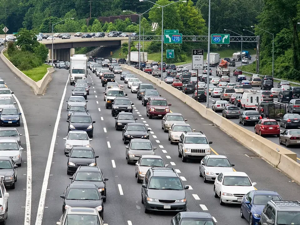
Visibility can vary considerably between different sections of the same highway. Fog may form around bridges, valleys, or low-lying areas, while heavy rain, snow, dust, or haze can reduce visibility elsewhere. These conditions may develop quickly, making continuous visibility monitoring important on roads exposed to recurring or sudden low-visibility events.
A highway visibility sensor continuously measures atmospheric visibility at defined monitoring points, providing road operators with site-specific data to identify changes in visibility and determine when warning or traffic-management measures may be required.
Visibility Monitoring at Critical Highway Locations
Visibility monitoring is not equally necessary at every point along a highway. Sensor deployment should focus on sections where terrain, weather, or road conditions are more likely to produce localized visibility changes.
Typical monitoring locations include:
- Bridges and low-lying sections: Local temperature and moisture conditions can contribute to fog formation.
- Mountain roads and passes: Changes in elevation and terrain can create localized weather conditions and sudden visibility changes.
- Tunnel entrances and exits: The transition between enclosed and open environments can create rapid changes in visibility and lighting conditions.
- Fog-prone highway sections: Continuous measurements provide site-specific data during recurring fog events.
- Dust- or snow-prone areas: Suspended particles or snowfall can significantly reduce atmospheric visibility.
The purpose of monitoring is not simply to record a visibility value. It is to provide location-specific, time-based data that allows operators to track changing conditions and determine whether additional road-management measures are needed.
What Conditions Can Reduce Highway Visibility?
Highway visibility can be affected by both weather and airborne particles. The monitoring requirements depend on the local climate, terrain, and operational risks.
| Condição | Effect on Visibility | Highway Monitoring Relevance |
| Nevoeiro | Can rapidly reduce atmospheric visibility | Important on fog-prone sections |
| Heavy rain | Reduces visual range through rainfall and road spray | Relevant during intense precipitation |
| Neve | Reduces visibility and can obscure road features | Important in cold and snowy regions |
| Dust | Suspended particles reduce atmospheric visibility | Relevant in dry or dust-prone areas |
| Haze / smoke | Suspended particles reduce atmospheric clarity | Depends on local environmental conditions |
For a highway monitoring project, visibility data should be evaluated together with the road environment, local weather patterns, and monitoring objectives. Where a project also requires pavement temperature or surface-condition data, a visibility sensor can be combined with road surface sensors or ice detection sensors as part of a broader road weather monitoring system.

What Does a Highway Visibility Sensor Measure?
A highway visibility sensor measures atmospheric visibility, typically expressed as Meteorological Optical Range (MOR). It provides a quantitative value showing how atmospheric conditions affect visual range at a specific highway location.If you want to learn how visibility is measured, please click.
From Atmospheric Visibility to Highway Management
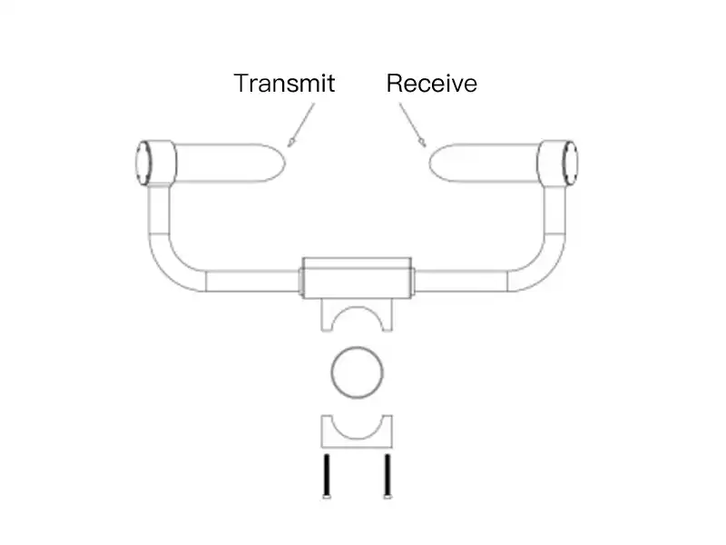
The sensor continuously measures changes in atmospheric visibility caused by fog, rain, snow, dust, smoke, and other suspended particles. The resulting visibility value can be collected by a data logger or RTU and transmitted to a monitoring platform.
Visibility Sensor → Data Logger / RTU → Communication Network → Monitoring Platform → Warning / Traffic Management
At the monitoring platform, real-time visibility data can be compared with predefined thresholds. When visibility falls below a configured level, the system can generate alerts or provide data for measures such as variable message signs, driver warnings, or traffic management.
This makes the visibility measurement more than a simple reading: it becomes a real-time data input for highway safety monitoring and operational decisions.
How Does a Highway Visibility Sensor Support Road Safety Monitoring?
A highway visibility sensor provides real-time measurements of atmospheric visibility for low-visibility detection, driver information, and traffic management. The measured data can be integrated into roadside monitoring and traffic-management systems according to predefined thresholds and operating procedures.
Fog Detection and Low-Visibility Warning
The sensor continuously tracks atmospheric visibility and detects reductions associated with fog, heavy rain, snow, dust, smoke, and other visibility-reducing conditions. When visibility falls below a predefined threshold, the monitoring system can issue an alert, allowing operators to identify deteriorating conditions at specific highway locations.
Variable Message Signs and Driver Warnings
Visibility data can be integrated with VMS/DMS, warning lights, variable speed signs, and traffic information systems. Based on configured visibility thresholds, these devices can display low-visibility warnings, speed advisories, or other relevant information to drivers approaching or traveling through an affected road section.
Traffic Management Decisions
Continuous visibility measurements give traffic operators a measurable basis for speed management, traffic diversion, temporary roadway restrictions, and other operational measures. The appropriate response depends on the measured visibility, local traffic-management rules, and the procedures established for the highway section.
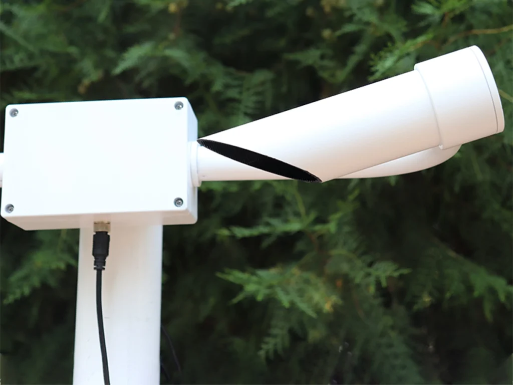
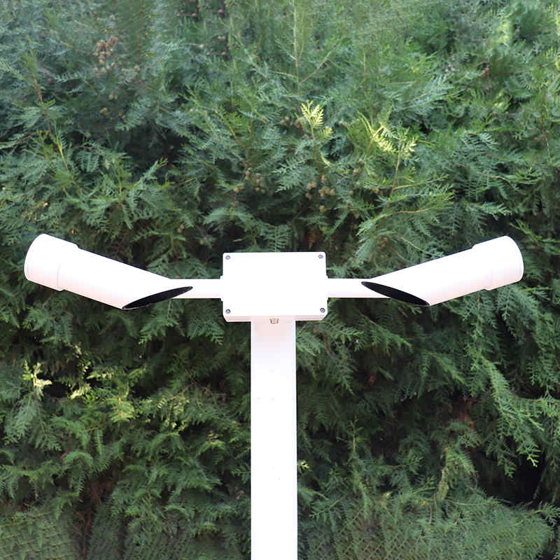
Where Should Highway Visibility Sensors Be Installed?
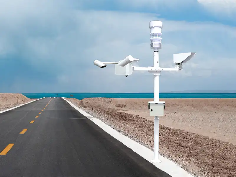
Highway visibility sensors should be installed at locations where visibility conditions can vary significantly or where real-time visibility data is important for traffic operations. Instead of distributing sensors uniformly along the entire highway, monitoring points should be prioritized based on local weather patterns, road geometry, visibility risk, and traffic-management requirements.
Typical high-value monitoring locations include:
- Fog-prone highway sections — valleys, low-lying areas, and sections near rivers, lakes, or other areas with recurring localized fog.
- Bridges and elevated roads — sections with different exposure to wind, moisture, and temperature compared with surrounding road areas.
- Tunnel entrances and exits — transition zones where atmospheric and lighting conditions can change over a short distance.
- Mountain roads and curved sections — locations where terrain and elevation changes can contribute to localized and rapidly changing visibility conditions.
- Sections with recurring weather events — road segments frequently affected by fog, heavy rain, snow, dust, smoke, or other visibility-reducing conditions.
- Critical traffic-management points — locations where visibility data is used to support VMS/DMS, warning systems, variable speed management, or other operational measures.
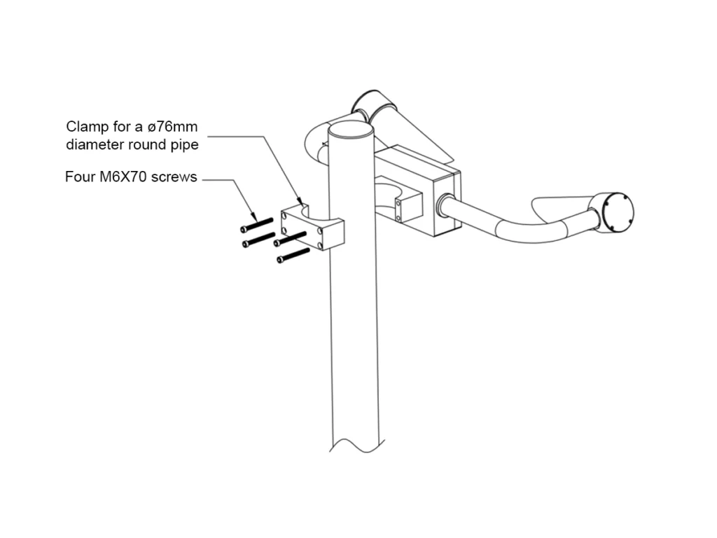
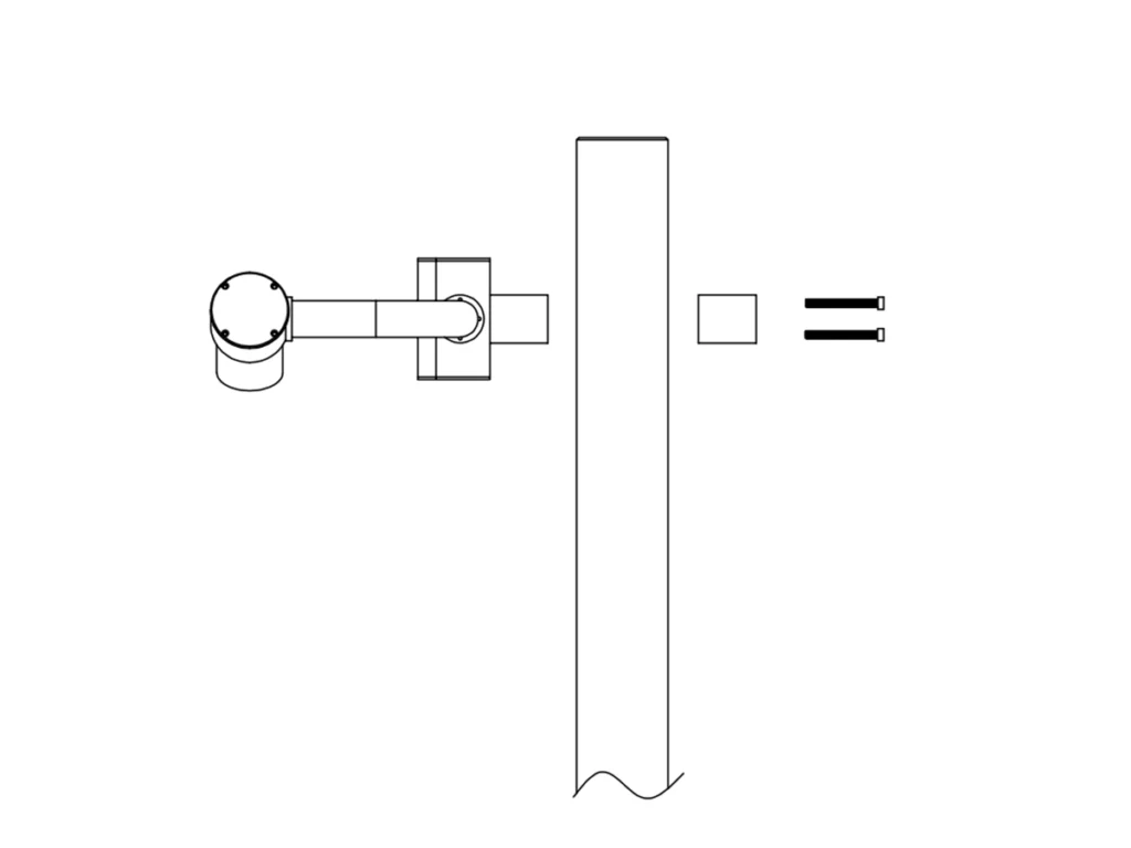
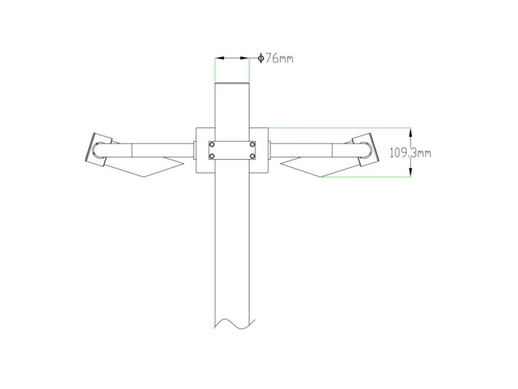
The exact installation point should provide representative visibility conditions for the target road section. The sensor should have a clear optical path and be positioned away from obstructions, reflective surfaces, strong light sources, and other factors that may interfere with optical measurements. Power supply, communication, maintenance access, and road safety should also be considered during site selection.
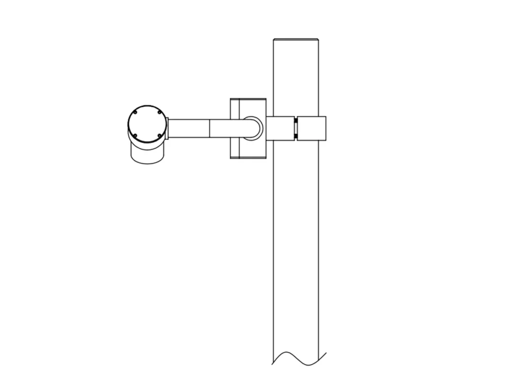
Installation height depends on the monitoring objective, road geometry, sensor design, and project requirements. FHWA guidance for relevant road weather applications indicates an installation height of approximately 2–3 m, but this should not be treated as a fixed requirement for every highway project. The final height and orientation should follow the sensor manufacturer’s specifications and site conditions.
Highway Visibility Sensor vs. Pavement and Road Surface Sensors
A highway visibility sensor measures atmospheric visibility, while pavement and road surface sensors measure conditions at or near the road surface. They address different monitoring requirements and are therefore complementary rather than interchangeable.
| Sensor | Main Target | Typical Data |
| Highway visibility sensor | Atmosphere | Visibility / MOR |
| Pavement / road surface sensor | Road surface | Surface temperature, water, ice, snow, surface condition |
| Ice detection sensor | Ice formation | Ice presence, freezing condition, or related surface indicators |
A highway visibility sensor cannot replace a road surface monitoring sensor, and a pavement sensor cannot replace atmospheric visibility measurement.
For example, fog may reduce atmospheric visibility while the pavement remains dry. Conversely, visibility may return to normal while the road surface remains wet or icy. Where both atmospheric and pavement conditions need to be monitored, the two sensor types can provide complementary road weather data.
For more information on how road surface sensors detect water and ice, see Como um Sensor de Condição da Superfície da Estrada Detecta Gelo e Água?

How Highway Visibility Sensors Work with Road Weather Monitoring Systems?
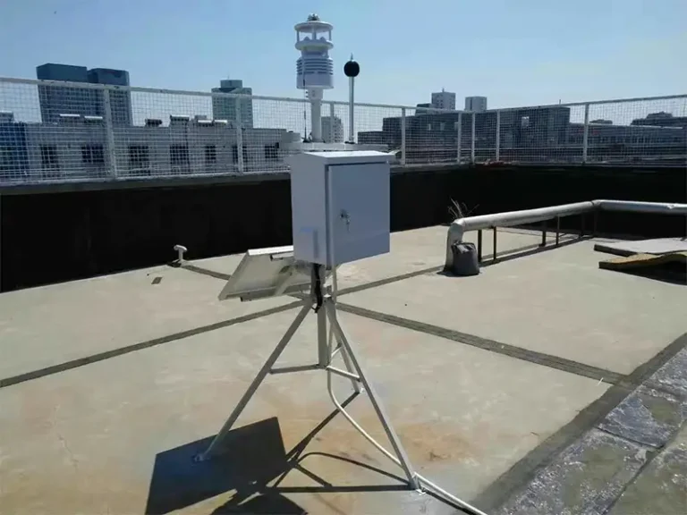
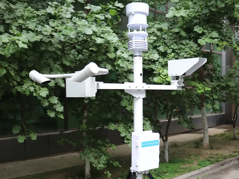
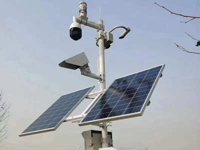
A highway visibility sensor is typically integrated into a Road Weather Information System (RWIS) together with weather and pavement sensors. The visibility sensor provides atmospheric visibility data, while other sensors can provide air temperature, humidity, wind, precipitation, and road-surface conditions. For a broader overview of RWIS structure, components, and applications, see O que é um Sistema de Informações Meteorológicas Rodoviárias (RWIS)? Componentes e Aplicações.
Visibility Sensor → Weather / Pavement Sensors → Data Logger / RTU → Communication Network → RWIS Platform → Warning & Traffic Management
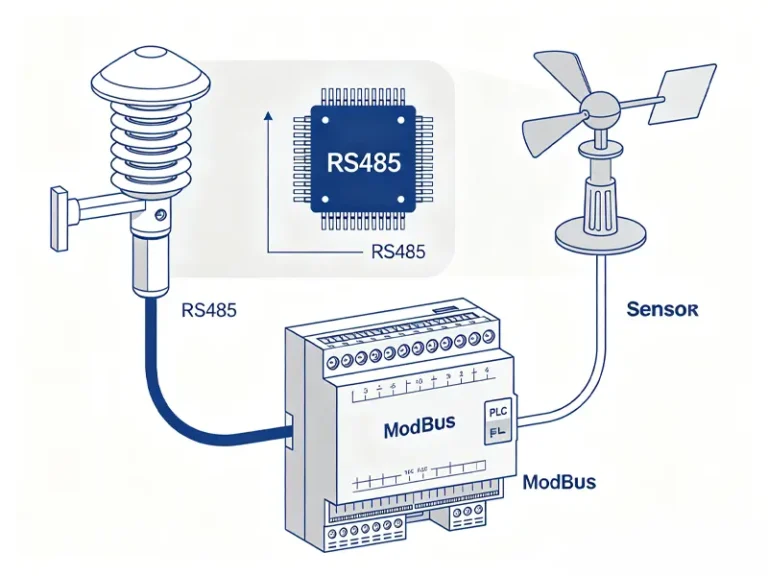
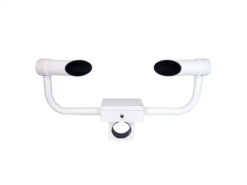
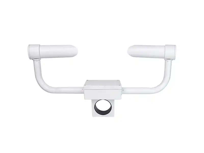
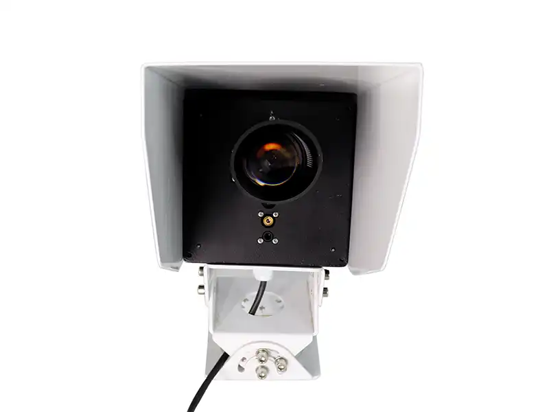
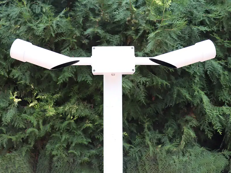
In a practical highway monitoring setup, the Yantai Sensor XF-CQ10 measures visibility from 10 m to 10 km and supports RS485/Modbus communication, allowing it to be connected to a data acquisition or road weather monitoring system. Most modern highway visibility sensors use optical scattering measurement to estimate atmospheric visibility. Within the RWIS, visibility data can be combined with other road-weather measurements for real-time monitoring, historical analysis, and configured alerts. For a detailed explanation of visibility sensor principles and types, see O que é um Sensor de Visibilidade? Princípio de Funcionamento, Tipos e Aplicações.
What Should You Consider When Selecting a Highway Visibility Sensor?
When selecting a highway visibility sensor, the measurement range should match the actual road conditions and expected visibility range. A wider range is not necessarily better if the sensor cannot provide stable measurements in the low-visibility range that matters to the project. For example, the Yantai Sensor XF-CQ10 has a visibility range of 10 m to 10 km.
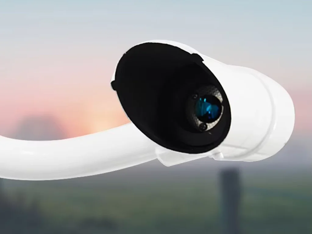
For outdoor highway installation, check how the sensor handles rain, snow, dust, condensation, frost, and stray light. Optical window protection and the operating temperature range are particularly important in areas with frequent fog, freezing weather, or dust. The installation point should also provide a clear optical path and allow access for routine inspection and cleaning.
The sensor also needs to fit the existing monitoring system. Check the communication interface, data format, power supply, installation requirements, and maintenance access before purchase. Interfaces such as RS485/Modbus can simplify integration with a data logger or RWIS platform. These practical details often have more impact on project deployment than comparing a single specification on a product datasheet.
Conclusão
A highway visibility sensor measures atmospheric visibility and provides continuous data for monitoring fog and other low-visibility conditions. When road surface conditions also need to be monitored, visibility data can be combined with weather and pavement measurements to give operators a more complete picture of conditions at a specific highway location.
For project selection, the important factors are not limited to measurement range. Environmental conditions, installation location, communication interface, power supply, maintenance requirements, and integration with the existing monitoring system all need to be considered together. The final configuration should match the road section being monitored and how the collected data will be used.
Yantai Sensor works with visibility, weather, and road-condition monitoring applications and can support sensor selection based on the actual project requirements. If you are planning a highway weather monitoring or road safety monitoring project, contact us to discuss the required visibility range, installation environment, communication interface, and sensor configuration.